
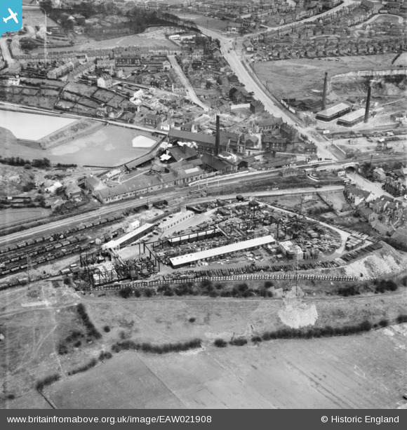
EAW021908 ENGLAND (1949). The Scapa and the Wadsley Bridge Iron and Steel Works, Wadsley Bridge, 1949. This image was marked by Aerofilms Ltd for photo editing.
© Copyright OpenStreetMap contributors and licensed by the OpenStreetMap Foundation. 2024. Cartography is licensed as CC BY-SA.
Nearby Images (7)
EAW021908

EAW021906

EAW021905

EAW021909

EAW021907

EAW021910

EAW021904

Details
| Title | [EAW021908] The Scapa and the Wadsley Bridge Iron and Steel Works, Wadsley Bridge, 1949. This image was marked by Aerofilms Ltd for photo editing. |
| Reference | EAW021908 |
| Date | 8-April-1949 |
| Link | |
| Place name | WADSLEY BRIDGE |
| Parish | |
| District | |
| Country | ENGLAND |
| Easting / Northing | 433286, 391522 |
| Longitude / Latitude | -1.4990965513461, 53.419188440077 |
| National Grid Reference | SK333915 |
Pins
Be the first to add a comment to this image!