
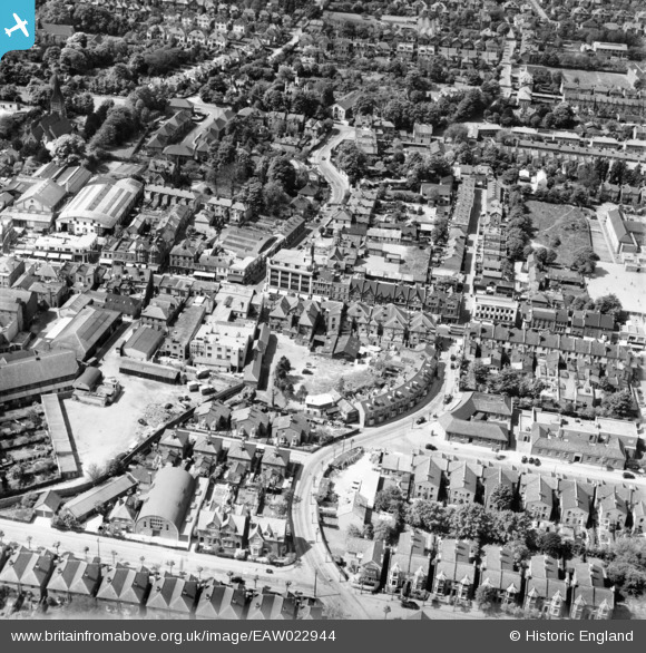
EAW022944 ENGLAND (1949). Manor Lane and the High Street, Sutton, 1949
© Copyright OpenStreetMap contributors and licensed by the OpenStreetMap Foundation. 2024. Cartography is licensed as CC BY-SA.
Nearby Images (18)
EAW022944

EAW022940

EAW022946

EAW022956

EAW022954

EAW022943

EAW022941

EAW022945

EAW022942

EAW022957
 on Lenham Road and the High Street, Sutton, 1949")
EPW050017

EPW057033

EPW028239

EPW001674

EPW028249

EPW028245

EPW011424

EAW022958

Details
| Title | [EAW022944] Manor Lane and the High Street, Sutton, 1949 |
| Reference | EAW022944 |
| Date | 6-May-1949 |
| Link | |
| Place name | SUTTON |
| Parish | |
| District | |
| Country | ENGLAND |
| Easting / Northing | 525869, 164371 |
| Longitude / Latitude | -0.1917974327625, 51.3639401334 |
| National Grid Reference | TQ259644 |
Pins
 redmist |
Thursday 14th of October 2021 08:07:23 PM | |
mike |
Thursday 29th of August 2019 07:12:27 PM | |
Sparky |
Monday 28th of August 2017 09:25:28 AM | |
Sparky |
Monday 28th of August 2017 09:21:42 AM | |
Good Old Uncle Ted |
Saturday 26th of July 2014 02:18:31 PM | |
Geoff Smith |
Wednesday 12th of March 2014 08:15:49 AM | |
Laurie |
Tuesday 4th of February 2014 05:02:25 PM | |
Laurie |
Wednesday 15th of January 2014 10:34:19 PM | |
Laurie |
Wednesday 15th of January 2014 10:26:46 PM | |
Laurie |
Wednesday 15th of January 2014 10:19:05 PM | |
Mark1973 |
Wednesday 15th of January 2014 10:11:23 PM | |
Mark1973 |
Wednesday 15th of January 2014 01:17:35 PM | |
Mark1973 |
Wednesday 15th of January 2014 01:17:02 PM | |
Mark1973 |
Wednesday 15th of January 2014 01:16:29 PM |
User Comment Contributions
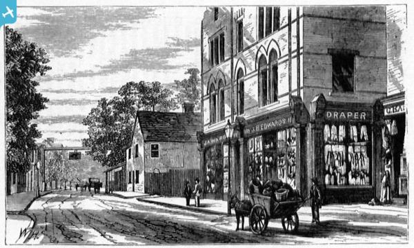
Is this the Robin Hood pub? |
Good Old Uncle Ted |
Saturday 26th of July 2014 02:17:31 PM |
Shops between Manor Place & Manor Lane. |
Laurie |
Saturday 1st of February 2014 08:15:13 PM |