
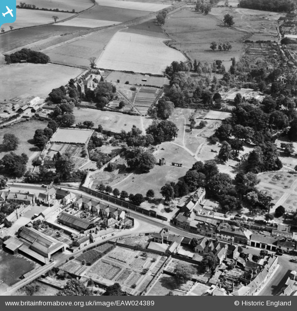
EAW024389 ENGLAND (1949). The Abbey Gardens, Bury St Edmunds, 1949
© Copyright OpenStreetMap contributors and licensed by the OpenStreetMap Foundation. 2024. Cartography is licensed as CC BY-SA.
Nearby Images (9)
EAW024389

EAW029744

EAW024396

EAW024387

EAW024395

EAW024397

EAW024398

EAW024388

EPW025021

Details
| Title | [EAW024389] The Abbey Gardens, Bury St Edmunds, 1949 |
| Reference | EAW024389 |
| Date | 6-July-1949 |
| Link | |
| Place name | BURY ST EDMUNDS |
| Parish | BURY ST. EDMUNDS |
| District | |
| Country | ENGLAND |
| Easting / Northing | 585807, 264247 |
| Longitude / Latitude | 0.72193690296103, 52.24459387577 |
| National Grid Reference | TL858642 |
Pins
 Matt Aldred edob.mattaldred.com |
Tuesday 7th of May 2019 04:35:45 PM | |
Matt Aldred edob.mattaldred.com |
Tuesday 7th of May 2019 04:35:26 PM |