
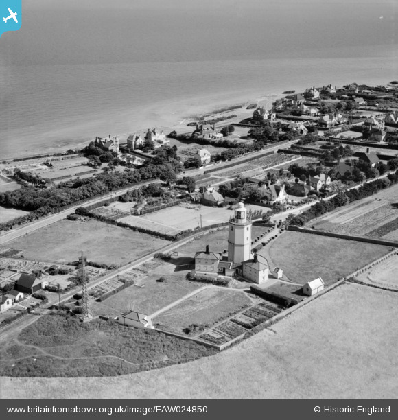
EAW024850 ENGLAND (1949). North Foreland Lighthouse, North Foreland, 1949
© Copyright OpenStreetMap contributors and licensed by the OpenStreetMap Foundation. 2024. Cartography is licensed as CC BY-SA.
Nearby Images (8)
EAW024850

EAW055957

EAW024851

EPW000669

EPW035463

EPW035462

EAW017586

EPW000668

Details
| Title | [EAW024850] North Foreland Lighthouse, North Foreland, 1949 |
| Reference | EAW024850 |
| Date | 12-July-1949 |
| Link | |
| Place name | NORTH FORELAND |
| Parish | BROADSTAIRS AND ST. PETERS |
| District | |
| Country | ENGLAND |
| Easting / Northing | 639929, 169550 |
| Longitude / Latitude | 1.4478272093135, 51.373723459579 |
| National Grid Reference | TR399696 |
Pins
 Dodger |
Friday 27th of February 2015 12:04:43 PM |