
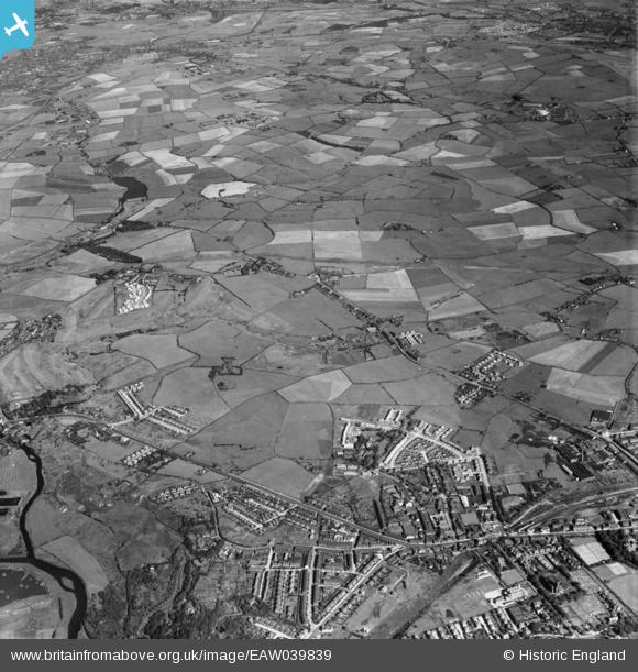
EAW039839 ENGLAND (1951). New housing by The Elms and Sunny Bank and the surrounding fields, Whitefield, from the north-west, 1951
© Copyright OpenStreetMap contributors and licensed by the OpenStreetMap Foundation. 2024. Cartography is licensed as CC BY-SA.
Nearby Images (3)
EAW039839

EAW039840

EAW039830

Details
| Title | [EAW039839] New housing by The Elms and Sunny Bank and the surrounding fields, Whitefield, from the north-west, 1951 |
| Reference | EAW039839 |
| Date | 15-September-1951 |
| Link | |
| Place name | WHITEFIELD |
| Parish | |
| District | |
| Country | ENGLAND |
| Easting / Northing | 380937, 406770 |
| Longitude / Latitude | -2.2877994506189, 53.556964130211 |
| National Grid Reference | SD809068 |
Pins
 John robinson |
Friday 18th of February 2022 06:01:31 PM | |
Patricia |
Tuesday 12th of May 2020 01:28:42 AM | |
Patricia |
Tuesday 12th of May 2020 01:21:37 AM | |
Montgomery |
Tuesday 3rd of December 2019 12:25:02 AM | |
Richard Clayton |
Thursday 22nd of August 2019 06:21:17 PM | |
Richard Clayton |
Thursday 22nd of August 2019 06:20:35 PM | |
Richard Clayton |
Thursday 22nd of August 2019 06:19:23 PM | |
DM |
Saturday 29th of June 2019 11:25:57 PM | |
DM |
Saturday 29th of June 2019 11:19:43 PM | |
Threlly |
Wednesday 29th of August 2018 03:18:29 PM | |
Threlly |
Wednesday 29th of August 2018 02:26:22 PM | |
Threlly |
Wednesday 29th of August 2018 02:10:30 PM | |
boltie |
Saturday 20th of June 2015 11:52:36 AM | |
boltie |
Saturday 20th of June 2015 11:51:47 AM | |
boltie |
Monday 4th of August 2014 12:58:13 AM |