
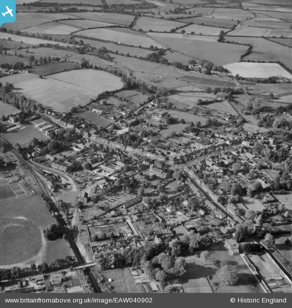
EAW040902 ENGLAND (1951). The town, New Alresford, from the east, 1951
© Copyright OpenStreetMap contributors and licensed by the OpenStreetMap Foundation. 2024. Cartography is licensed as CC BY-SA.
Nearby Images (7)
EAW040902

EPW023314

EPW023311

EPW023310

EPW032308

EPW023313

EPW032307

Details
| Title | [EAW040902] The town, New Alresford, from the east, 1951 |
| Reference | EAW040902 |
| Date | 19-October-1951 |
| Link | |
| Place name | NEW ALRESFORD |
| Parish | NEW ALRESFORD |
| District | |
| Country | ENGLAND |
| Easting / Northing | 458975, 132563 |
| Longitude / Latitude | -1.1578405368729, 51.088814152146 |
| National Grid Reference | SU590326 |
Pins
Be the first to add a comment to this image!