
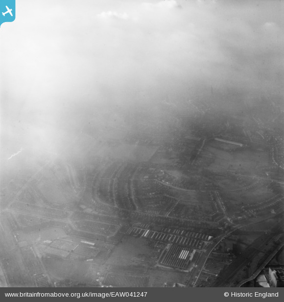
EAW041247 ENGLAND (1951). Fog over Hanger Hill and environs, Ealing, 1951
© Copyright OpenStreetMap contributors and licensed by the OpenStreetMap Foundation. 2024. Cartography is licensed as CC BY-SA.
Nearby Images (3)
EAW041247

EPW040776

EPW040774

Details
| Title | [EAW041247] Fog over Hanger Hill and environs, Ealing, 1951 |
| Reference | EAW041247 |
| Date | 14-November-1951 |
| Link | |
| Place name | EALING |
| Parish | |
| District | |
| Country | ENGLAND |
| Easting / Northing | 518344, 181655 |
| Longitude / Latitude | -0.29406667526232, 51.520917517799 |
| National Grid Reference | TQ183817 |

