
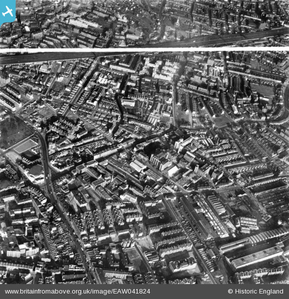
EAW041824 ENGLAND (1952). Grange Road and environs, Bermondsey, 1952. This image has been produced from a print marked by Aerofilms Ltd for photo editing.
© Copyright OpenStreetMap contributors and licensed by the OpenStreetMap Foundation. 2024. Cartography is licensed as CC BY-SA.
Nearby Images (14)
EAW041824

EAW041813

EAW041815

EAW041818

EAW041814

EAW041817

EAW041823

EAW041819

EAW041821

EAW041826

EAW041820

EAW041822

EAW041816

EAW041825

Details
| Title | [EAW041824] Grange Road and environs, Bermondsey, 1952. This image has been produced from a print marked by Aerofilms Ltd for photo editing. |
| Reference | EAW041824 |
| Date | 5-March-1952 |
| Link | |
| Place name | BERMONDSEY |
| Parish | |
| District | |
| Country | ENGLAND |
| Easting / Northing | 533509, 179145 |
| Longitude / Latitude | -0.076538133309162, 51.494977615985 |
| National Grid Reference | TQ335791 |
Pins
Be the first to add a comment to this image!