
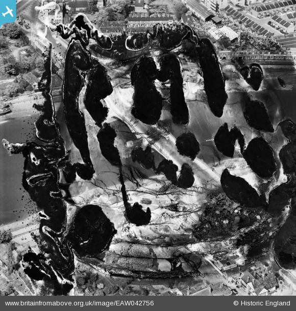
EAW042756 ENGLAND (1952). Kew Bridge (site of), Kew, 1952. This image has been produced from a damaged negative.
© Copyright OpenStreetMap contributors and licensed by the OpenStreetMap Foundation. 2024. Cartography is licensed as CC BY-SA.
Nearby Images (9)
EAW042756
, Kew, 1952. This image has been produced from a damaged negative.")
EPW057062

EAW042755

EPW059940

EPW022565

EPW059344

EPW001717

EPW001669

EPW059343

Details
| Title | [EAW042756] Kew Bridge (site of), Kew, 1952. This image has been produced from a damaged negative. |
| Reference | EAW042756 |
| Date | 29-April-1952 |
| Link | |
| Place name | KEW |
| Parish | |
| District | |
| Country | ENGLAND |
| Easting / Northing | 518995, 177819 |
| Longitude / Latitude | -0.28598140961451, 51.486300939295 |
| National Grid Reference | TQ190778 |
