
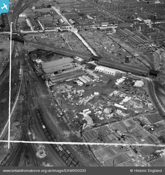
EAW050033 ENGLAND (1953). The Amalgamated Box Co Ltd Box Factory, Gipsyville, 1953. This image was marked by Aerofilms Ltd for photo editing.
© Copyright OpenStreetMap contributors and licensed by the OpenStreetMap Foundation. 2024. Cartography is licensed as CC BY-SA.
Nearby Images (9)
EAW050033

EAW050031

EAW050029

EAW050026

EAW050028

EAW050032

EAW050027

EAW050030

EAW015651

Details
| Title | [EAW050033] The Amalgamated Box Co Ltd Box Factory, Gipsyville, 1953. This image was marked by Aerofilms Ltd for photo editing. |
| Reference | EAW050033 |
| Date | 18-June-1953 |
| Link | |
| Place name | GIPSYVILLE |
| Parish | |
| District | |
| Country | ENGLAND |
| Easting / Northing | 506974, 427308 |
| Longitude / Latitude | -0.37825980995059, 53.730957881114 |
| National Grid Reference | TA070273 |
Pins
 CartoonHead |
Wednesday 10th of August 2016 09:01:17 PM | |
CartoonHead |
Wednesday 10th of August 2016 08:44:34 PM | |
John Wass |
Wednesday 17th of June 2015 02:51:58 PM | |
John Wass |
Wednesday 17th of June 2015 02:48:06 PM | |
John Wass |
Wednesday 17th of June 2015 02:46:02 PM | |
John Wass |
Friday 3rd of April 2015 08:55:29 PM | |
John Wass |
Saturday 30th of August 2014 08:23:59 PM | |
John Wass |
Friday 15th of August 2014 03:52:06 PM | |
John Wass |
Friday 15th of August 2014 03:50:20 PM |
