
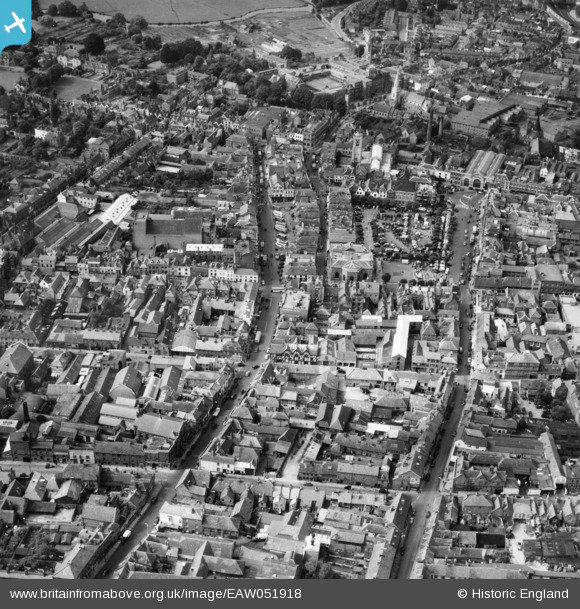
EAW051918 ENGLAND (1953). New Canal, the Market Place and the city centre, Salisbury, 1953
© Copyright OpenStreetMap contributors and licensed by the OpenStreetMap Foundation. 2024. Cartography is licensed as CC BY-SA.
Nearby Images (11)
EAW051918

EAW051919

EAW051971

EAW051970

EAW051973

EAW051972

EAW051921

EAW025830

EAW051917

EAW051920

EPW011043

Details
| Title | [EAW051918] New Canal, the Market Place and the city centre, Salisbury, 1953 |
| Reference | EAW051918 |
| Date | 30-August-1953 |
| Link | |
| Place name | SALISBURY |
| Parish | SALISBURY |
| District | |
| Country | ENGLAND |
| Easting / Northing | 414548, 129959 |
| Longitude / Latitude | -1.7923490015693, 51.068244621975 |
| National Grid Reference | SU145300 |
Pins
 Lydia |
Friday 13th of November 2020 04:58:21 PM |