
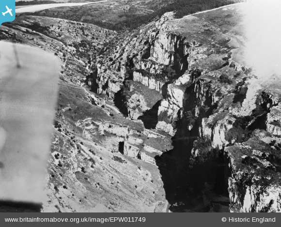
EPW011749 ENGLAND (1924). Cheddar Gorge, Cheddar, 1924. This image has been produced from a copy-negative affected by flare.
© Copyright OpenStreetMap contributors and licensed by the OpenStreetMap Foundation. 2024. Cartography is licensed as CC BY-SA.
Nearby Images (6)
EPW011749

EPW048433

EAW025159

EPW048432

EPW033372

EAW025098

Details
| Title | [EPW011749] Cheddar Gorge, Cheddar, 1924. This image has been produced from a copy-negative affected by flare. |
| Reference | EPW011749 |
| Date | 8-September-1924 |
| Link | |
| Place name | CHEDDAR |
| Parish | CHEDDAR |
| District | |
| Country | ENGLAND |
| Easting / Northing | 347290, 154369 |
| Longitude / Latitude | -2.7559054030179, 51.285508386499 |
| National Grid Reference | ST473544 |
Pins
Be the first to add a comment to this image!
User Comment Contributions
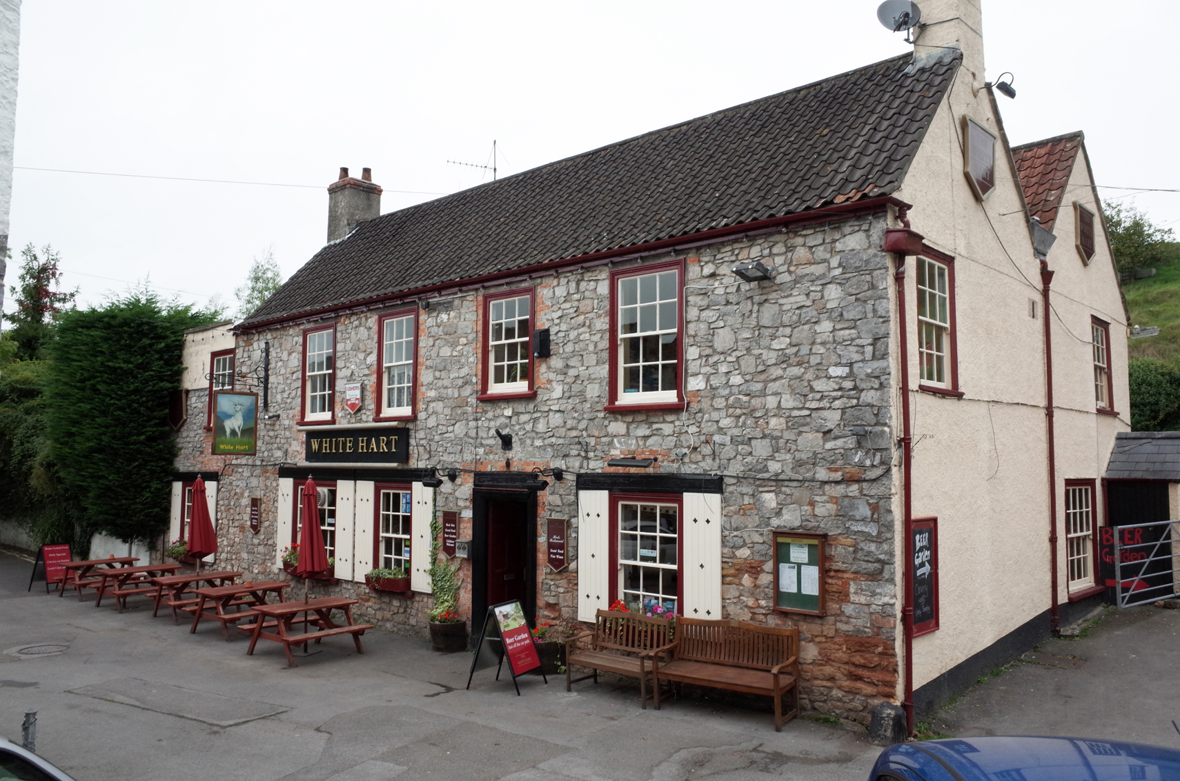 The Wite Hart PH Cheddar Gorge |
 Alan McFaden |
Tuesday 18th of November 2014 04:37:59 PM |
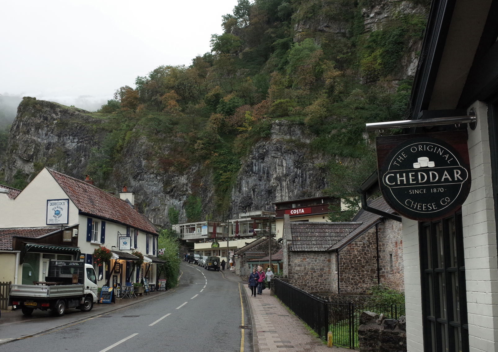 Cheddar Gorge |
Alan McFaden |
Tuesday 18th of November 2014 04:37:26 PM |
 Cheddar Gorge Gough's Cave |
Alan McFaden |
Tuesday 18th of November 2014 04:37:01 PM |
 Cheddar Gorge |
Alan McFaden |
Tuesday 18th of November 2014 04:36:30 PM |