
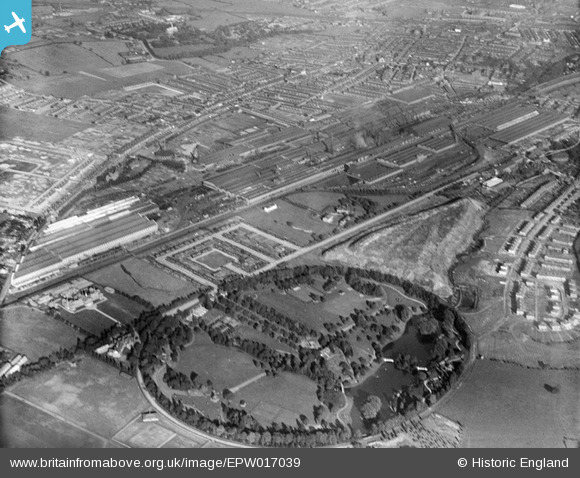
EPW017039 ENGLAND (1926). Queens Park and the Crewe Works, Crewe, 1926
© Copyright OpenStreetMap contributors and licensed by the OpenStreetMap Foundation. 2024. Cartography is licensed as CC BY-SA.
Nearby Images (4)
EPW017039

EPW017038

EPW017021

EPW017022

Details
| Title | [EPW017039] Queens Park and the Crewe Works, Crewe, 1926 |
| Reference | EPW017039 |
| Date | 6-October-1926 |
| Link | |
| Place name | CREWE |
| Parish | |
| District | |
| Country | ENGLAND |
| Easting / Northing | 369072, 355796 |
| Longitude / Latitude | -2.4619470378874, 53.098171986021 |
| National Grid Reference | SJ691558 |
Pins
Be the first to add a comment to this image!