
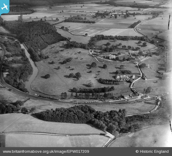
EPW017209 ENGLAND (1926). Kirkham Park, Kirkham, 1926
© Copyright OpenStreetMap contributors and licensed by the OpenStreetMap Foundation. 2024. Cartography is licensed as CC BY-SA.
Nearby Images (17)
EPW017209

EPW017259

EAW003219

EAW003220

EAW003222

EAW003225

EAW003230

EPW017212

EAW003226

EPW017214

EAW003223

EAW003224

EAW003228

EAW003221

EAW003229

EAW003227

EAW003231

Details
| Title | [EPW017209] Kirkham Park, Kirkham, 1926 |
| Reference | EPW017209 |
| Date | 16-October-1926 |
| Link | |
| Place name | KIRKHAM |
| Parish | WESTOW |
| District | |
| Country | ENGLAND |
| Easting / Northing | 473447, 466021 |
| Longitude / Latitude | -0.87710876443274, 54.084676511258 |
| National Grid Reference | SE734660 |

