
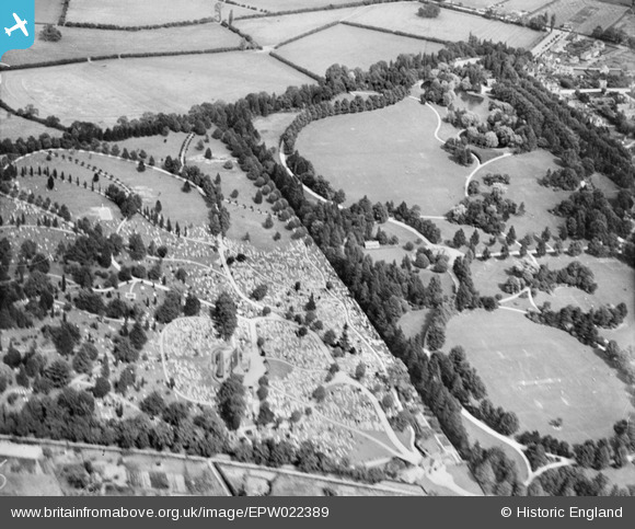
EPW022389 ENGLAND (1928). Bedford Cemetery and The Park, Bedford, 1928.
© Copyright OpenStreetMap contributors and licensed by the OpenStreetMap Foundation. 2024. Cartography is licensed as CC BY-SA.
Nearby Images (3)
EPW022389

EPW026468

EPW026476

Details
| Title | [EPW022389] Bedford Cemetery and The Park, Bedford, 1928. |
| Reference | EPW022389 |
| Date | 9-August-1928 |
| Link | |
| Place name | BEDFORD |
| Parish | |
| District | |
| Country | ENGLAND |
| Easting / Northing | 505043, 251158 |
| Longitude / Latitude | -0.46461744912638, 52.148297391337 |
| National Grid Reference | TL050512 |

