
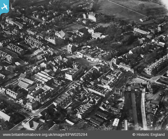
EPW025294 ENGLAND (1928). London Road and the town centre, Enfield, 1928. This image has been produced from a copy-negative.
© Copyright OpenStreetMap contributors and licensed by the OpenStreetMap Foundation. 2024. Cartography is licensed as CC BY-SA.
Nearby Images (6)
EPW025294

EPW013315

EPW025292

EPW013318

EPW010324

EPW001541

Details
| Title | [EPW025294] London Road and the town centre, Enfield, 1928. This image has been produced from a copy-negative. |
| Reference | EPW025294 |
| Date | October-1928 |
| Link | |
| Place name | ENFIELD |
| Parish | |
| District | |
| Country | ENGLAND |
| Easting / Northing | 532857, 196549 |
| Longitude / Latitude | -0.079342630810173, 51.651547163253 |
| National Grid Reference | TQ329965 |
Pins
Be the first to add a comment to this image!