
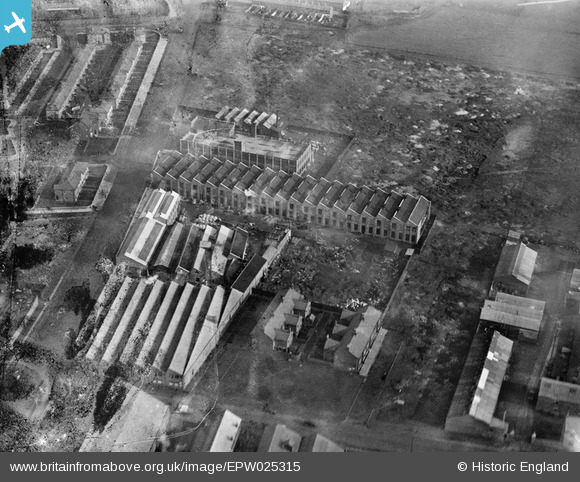
EPW025315 ENGLAND (1928). Liverpool Electric Cable Co Works and the Mersey Cable Works, Bootle, 1928
© Copyright OpenStreetMap contributors and licensed by the OpenStreetMap Foundation. 2024. Cartography is licensed as CC BY-SA.
Nearby Images (26)
EPW025315

EAW036062

EAW036060

EAW036056

EPW025319

EAW036057

EAW036055

EAW036942

EAW036059

EAW036947

EPW025312

EAW036941

EPW025313

EAW036948

EAW036058

EAW036944

EAW036949

EAW036943

EPW025316

EAW036061

EAW036063

EPW025314

EAW036945

EAW036946

EPR000196

EPW050520

Details
| Title | [EPW025315] Liverpool Electric Cable Co Works and the Mersey Cable Works, Bootle, 1928 |
| Reference | EPW025315 |
| Date | 3-November-1928 |
| Link | |
| Place name | BOOTLE |
| Parish | |
| District | |
| Country | ENGLAND |
| Easting / Northing | 334766, 396326 |
| Longitude / Latitude | -2.9826092899191, 53.459384335069 |
| National Grid Reference | SJ348963 |
Pins
Be the first to add a comment to this image!