
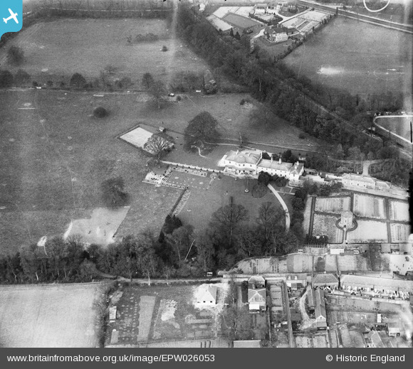
EPW026053 ENGLAND (1929). Court Lodge, Wrotham, 1929
© Copyright OpenStreetMap contributors and licensed by the OpenStreetMap Foundation. 2024. Cartography is licensed as CC BY-SA.
Nearby Images (6)
EPW026053

EPW032148

EPW026050

EPW032149

EPW032150

EPW026054

Details
| Title | [EPW026053] Court Lodge, Wrotham, 1929 |
| Reference | EPW026053 |
| Date | April-1929 |
| Link | |
| Place name | WROTHAM |
| Parish | WROTHAM |
| District | |
| Country | ENGLAND |
| Easting / Northing | 561015, 159284 |
| Longitude / Latitude | 0.3104079614131, 51.309355296741 |
| National Grid Reference | TQ610593 |
Pins
Be the first to add a comment to this image!