
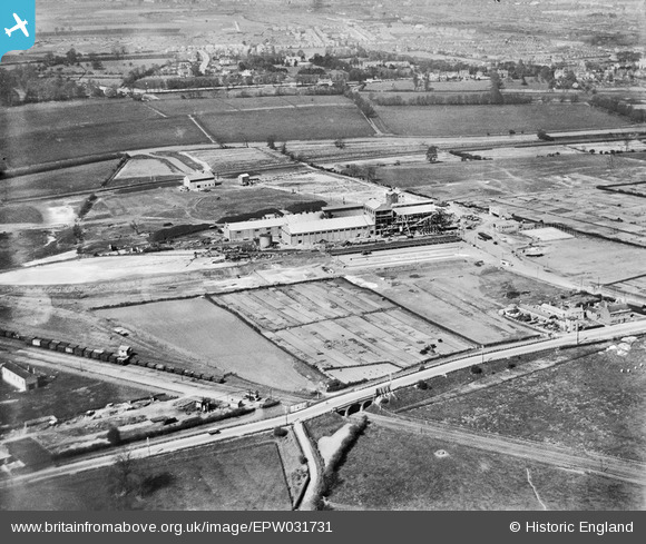
EPW031731 ENGLAND (1930). The Central Sugar Co Sugar Beet Factory, Peterborough, 1930
© Copyright OpenStreetMap contributors and licensed by the OpenStreetMap Foundation. 2024. Cartography is licensed as CC BY-SA.
Nearby Images (8)
EPW031731

EPW031730

EPW031728

EPW031732

EPW031727

EPW031729

EPW031726

EPW031725

Details
| Title | [EPW031731] The Central Sugar Co Sugar Beet Factory, Peterborough, 1930 |
| Reference | EPW031731 |
| Date | April-1930 |
| Link | |
| Place name | PETERBOROUGH |
| Parish | |
| District | |
| Country | ENGLAND |
| Easting / Northing | 517781, 297637 |
| Longitude / Latitude | -0.26220437216554, 52.563438802128 |
| National Grid Reference | TL178976 |
Pins
 Grimsby Boy |
Tuesday 24th of February 2015 10:13:33 PM | |
Grimsby Boy |
Tuesday 24th of February 2015 10:12:31 PM |