
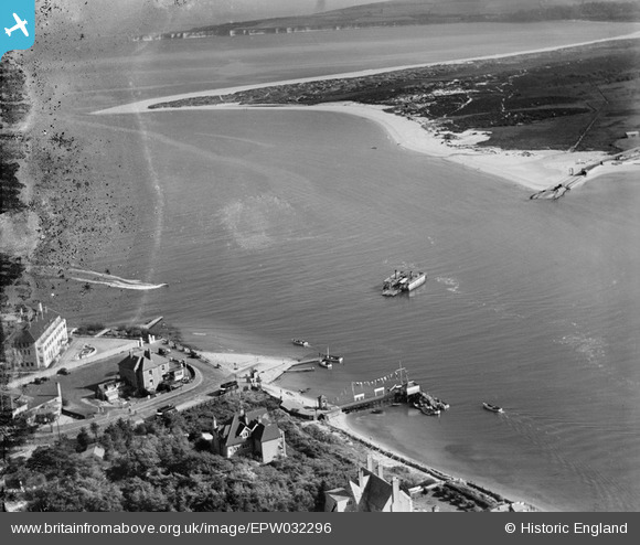
EPW032296 ENGLAND (1930). The Sandbanks Chain Ferry operating between Sandbanks and Studland, Sandbanks, 1930
© Copyright OpenStreetMap contributors and licensed by the OpenStreetMap Foundation. 2024. Cartography is licensed as CC BY-SA.
Nearby Images (13)
EPW032296

EPW032299

EAW010961

EPW032297

EPW032298

EAW049051

EPW032301

EPW041060

EPW041056

EPW041055

EPW037413

EPW032304

EPW032300

Details
| Title | [EPW032296] The Sandbanks Chain Ferry operating between Sandbanks and Studland, Sandbanks, 1930 |
| Reference | EPW032296 |
| Date | June-1930 |
| Link | |
| Place name | SANDBANKS |
| Parish | |
| District | |
| Country | ENGLAND |
| Easting / Northing | 403743, 86947 |
| Longitude / Latitude | -1.9470145251237, 50.681589884496 |
| National Grid Reference | SZ037869 |
Pins
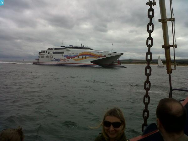
 Class31 |
Thursday 20th of June 2013 02:04:09 PM | |
Class31 |
Monday 5th of November 2012 02:34:13 PM | |
Class31 |
Monday 5th of November 2012 02:33:51 PM | |
Class31 |
Monday 5th of November 2012 02:33:26 PM | |
Class31 |
Monday 5th of November 2012 02:32:57 PM | |
Class31 |
Monday 5th of November 2012 02:32:30 PM | |
Class31 |
Monday 5th of November 2012 02:31:40 PM |
User Comment Contributions
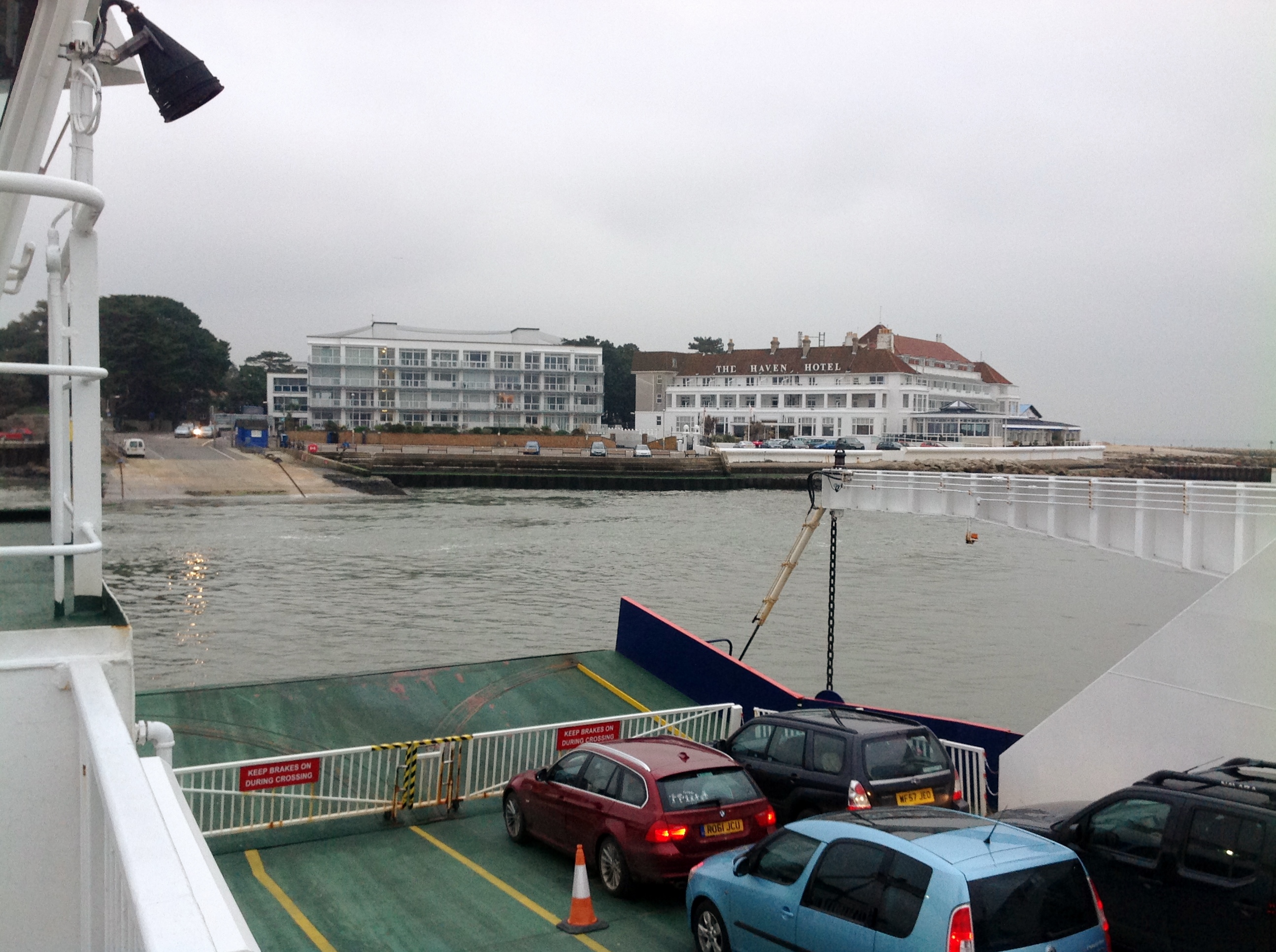 The Haven Hotel 30/01/2014 from the chain ferry. |
Class31 |
Friday 31st of January 2014 11:08:48 AM |