
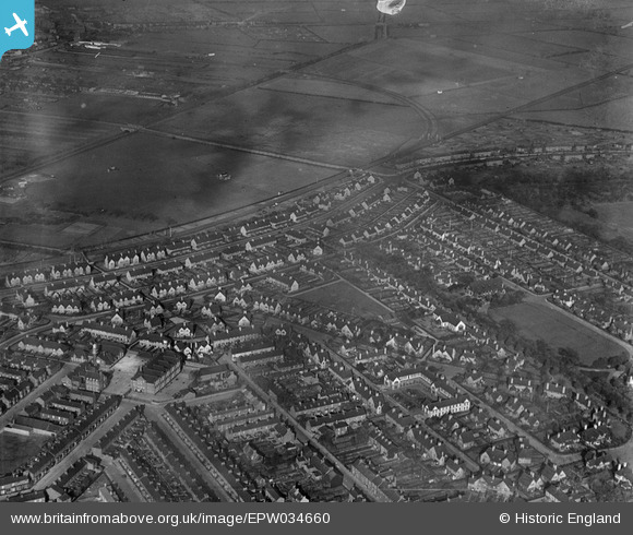
EPW034660 ENGLAND (1930). The Garden Village and Reckitt's Recreation Ground, Kingston upon Hull, 1930
© Copyright OpenStreetMap contributors and licensed by the OpenStreetMap Foundation. 2024. Cartography is licensed as CC BY-SA.
Nearby Images (2)
EPW034660

EPW034658

Details
| Title | [EPW034660] The Garden Village and Reckitt's Recreation Ground, Kingston upon Hull, 1930 |
| Reference | EPW034660 |
| Date | 16-October-1930 |
| Link | |
| Place name | KINGSTON UPON HULL |
| Parish | |
| District | |
| Country | ENGLAND |
| Easting / Northing | 511079, 430801 |
| Longitude / Latitude | -0.31480077237149, 53.761485082451 |
| National Grid Reference | TA111308 |
Pins
 John Wass |
Friday 4th of July 2014 03:08:12 PM | |
rachelst |
Monday 21st of October 2013 04:27:24 PM | |
rachelst |
Monday 21st of October 2013 04:24:34 PM | |
rachelst |
Monday 21st of October 2013 04:23:13 PM | |
rachelst |
Monday 21st of October 2013 04:22:29 PM | |
Melm |
Wednesday 23rd of January 2013 11:15:38 AM | |
Melm |
Wednesday 23rd of January 2013 11:14:31 AM |