
Scheduled Maintenance
This website will undergo scheduled maintenance on Tuesday, September 10th, between 11:00 and 15:00, as well as on Thursday, September 12th, between 10:00 and 12:00. During this time, services may be temporarily disrupted. We apologise for any inconvenience.
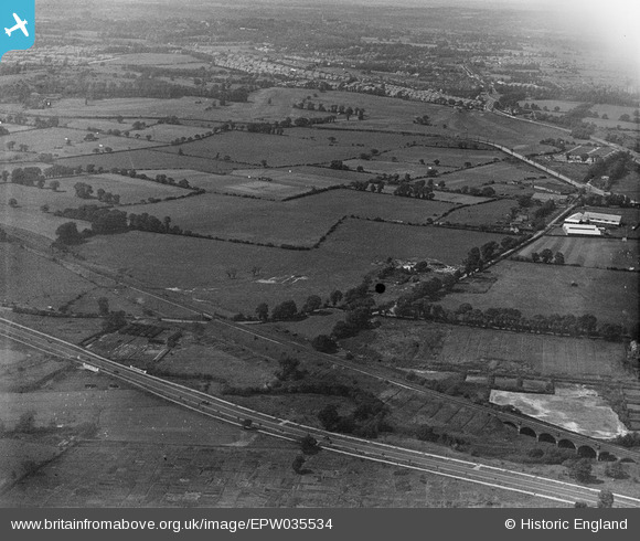
EPW035534 ENGLAND (1931). The site of the Greystoke Estate, Perivale, 1931
© Copyright OpenStreetMap contributors and licensed by the OpenStreetMap Foundation. 2024. Cartography is licensed as CC BY-SA.
Nearby Images (3)
EPW035534

EAW007191

EAW007189

Details
| Title | [EPW035534] The site of the Greystoke Estate, Perivale, 1931 |
| Reference | EPW035534 |
| Date | June-1931 |
| Link | |
| Place name | PERIVALE |
| Parish | |
| District | |
| Country | ENGLAND |
| Easting / Northing | 517422, 183183 |
| Longitude / Latitude | -0.30684156827786, 51.534844469447 |
| National Grid Reference | TQ174832 |
Pins
 David Posnett |
Thursday 24th of June 2021 07:58:25 AM | |
 Des Elmes |
Wednesday 6th of April 2016 02:38:53 AM | |
Des Elmes |
Wednesday 6th of April 2016 02:37:49 AM | |
Des Elmes |
Wednesday 6th of April 2016 02:36:53 AM | |
Des Elmes |
Wednesday 6th of April 2016 02:36:01 AM |