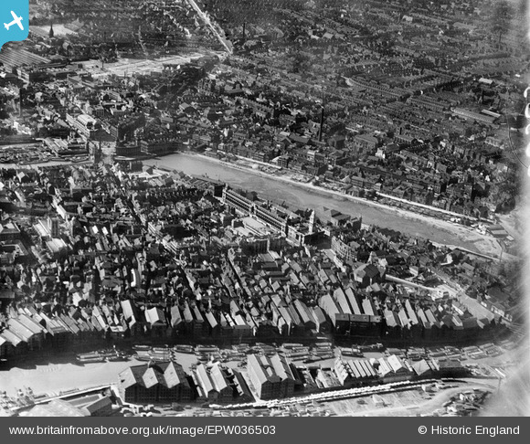
EPW036503 ENGLAND (1931). The Queen's Dock, Guildhall and environs, Kingston upon Hull, 1931
© Copyright OpenStreetMap contributors and licensed by the OpenStreetMap Foundation. 2024. Cartography is licensed as CC BY-SA.
Nearby Images (8)
EPW036503

EPW010792

EAW046135

EPW012813

EPW036506

EAW015657

EPW036504

EPW012811

Details
| Title | [EPW036503] The Queen's Dock, Guildhall and environs, Kingston upon Hull, 1931 |
| Reference | EPW036503 |
| Date | August-1931 |
| Link | |
| Place name | KINGSTON UPON HULL |
| Parish | |
| District | |
| Country | ENGLAND |
| Easting / Northing | 509956, 428850 |
| Longitude / Latitude | -0.33252460214191, 53.74419305376 |
| National Grid Reference | TA100289 |
Pins
 John Wass |
Friday 4th of August 2017 07:35:05 PM | |
John Wass |
Friday 4th of August 2017 07:33:19 PM | |
CartoonHead |
Saturday 24th of October 2015 10:40:29 AM | |
John Wass |
Friday 28th of November 2014 11:18:52 AM | |
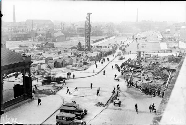
A good source of material for this landfill can be seen just to the west, with the demolition of Brook Street and Collier Street for the building of the new Ferensway and the porter street area slum clearance. |
CartoonHead |
Saturday 24th of October 2015 10:35:40 AM |