
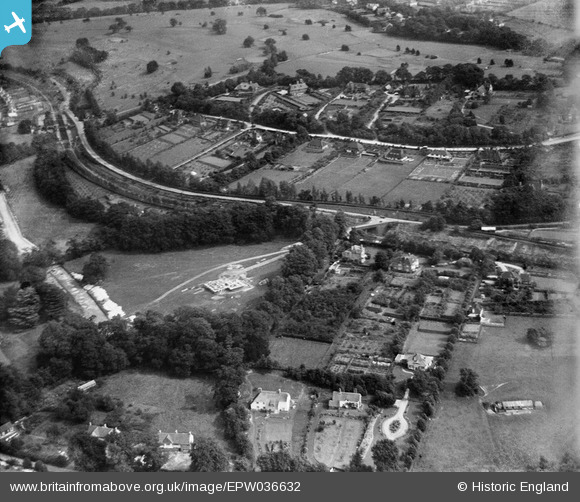
EPW036632 ENGLAND (1931). How Hills, Chipstead, from the south-west, 1931
© Copyright OpenStreetMap contributors and licensed by the OpenStreetMap Foundation. 2024. Cartography is licensed as CC BY-SA.
Nearby Images (3)
EPW036632

EPW036639

EPW036955

Details
| Title | [EPW036632] How Hills, Chipstead, from the south-west, 1931 |
| Reference | EPW036632 |
| Date | September-1931 |
| Link | |
| Place name | CHIPSTEAD |
| Parish | |
| District | |
| Country | ENGLAND |
| Easting / Northing | 527367, 157784 |
| Longitude / Latitude | -0.1726451966172, 51.304400998816 |
| National Grid Reference | TQ274578 |
