
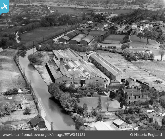
EPW041121 ENGLAND (1933). The Steel Barrel Works, Uxbridge, 1933
© Copyright OpenStreetMap contributors and licensed by the OpenStreetMap Foundation. 2024. Cartography is licensed as CC BY-SA.
Nearby Images (22)
EPW041121

EPW041120

EAW001335

EAW034865

EPW031271

EAW034869

EAW034867

EPW035265

EAW001333

EPW032882

EAW034868

EPW035264

EPW035272

EPW032885

EAW001329

EAW001332

EAW001334

EAW001331

EPW031272

EPW031270

EPW031273

EAW001330

Details
| Title | [EPW041121] The Steel Barrel Works, Uxbridge, 1933 |
| Reference | EPW041121 |
| Date | May-1933 |
| Link | |
| Place name | UXBRIDGE |
| Parish | |
| District | |
| Country | ENGLAND |
| Easting / Northing | 504995, 184067 |
| Longitude / Latitude | -0.48569675771884, 51.545239640771 |
| National Grid Reference | TQ050841 |
Pins
 John Wass |
Tuesday 30th of December 2014 03:11:08 PM |