
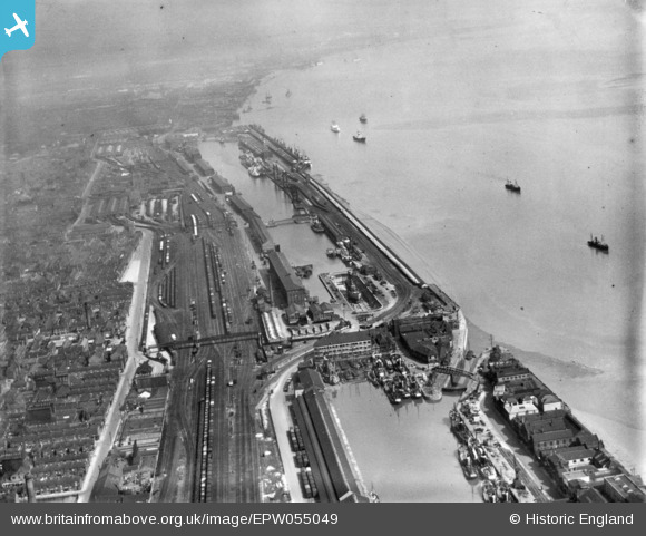
EPW055049 ENGLAND (1937). William Wright Dock and Albert Dock, Kingston upon Hull, from the south-west, 1937. This image has been produced from a print.
© Copyright OpenStreetMap contributors and licensed by the OpenStreetMap Foundation. 2024. Cartography is licensed as CC BY-SA.
Nearby Images (7)
EPW055049

EAW046148

EPW036377

EPW036384

EPW036420

EAW015652

EAW015636

Details
| Title | [EPW055049] William Wright Dock and Albert Dock, Kingston upon Hull, from the south-west, 1937. This image has been produced from a print. |
| Reference | EPW055049 |
| Date | August-1937 |
| Link | |
| Place name | KINGSTON UPON HULL |
| Parish | |
| District | |
| Country | ENGLAND |
| Easting / Northing | 507922, 427199 |
| Longitude / Latitude | -0.36393245884695, 53.729783162576 |
| National Grid Reference | TA079272 |
Pins
 NEOhoppy |
Thursday 23rd of April 2015 03:20:38 AM | |
NEOhoppy |
Thursday 23rd of April 2015 03:13:30 AM | |
NEOhoppy |
Thursday 23rd of April 2015 03:11:10 AM | |
NEOhoppy |
Thursday 23rd of April 2015 03:09:15 AM | |
NEOhoppy |
Thursday 23rd of April 2015 03:08:19 AM | |
NEOhoppy |
Thursday 23rd of April 2015 03:07:39 AM | |
NEOhoppy |
Thursday 23rd of April 2015 03:06:11 AM | |
NEOhoppy |
Thursday 23rd of April 2015 03:05:33 AM | |
NEOhoppy |
Thursday 23rd of April 2015 03:04:29 AM | |
John Wass |
Wednesday 22nd of April 2015 03:39:28 PM |