
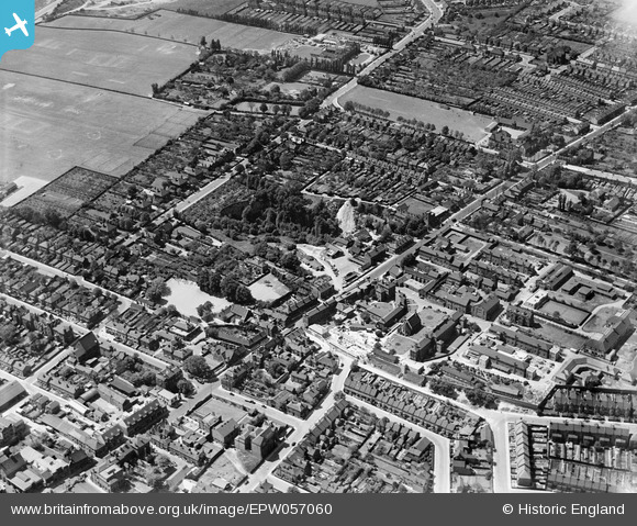
EPW057060 ENGLAND (1938). West Hill and environs, Dartford, 1938
© Copyright OpenStreetMap contributors and licensed by the OpenStreetMap Foundation. 2024. Cartography is licensed as CC BY-SA.
Nearby Images (2)
EPW057060

EPW028236

Details
| Title | [EPW057060] West Hill and environs, Dartford, 1938 |
| Reference | EPW057060 |
| Date | 12-May-1938 |
| Link | |
| Place name | DARTFORD |
| Parish | |
| District | |
| Country | ENGLAND |
| Easting / Northing | 553642, 174094 |
| Longitude / Latitude | 0.21110425831041, 51.444476768853 |
| National Grid Reference | TQ536741 |
Pins
 Chiltern View |
Saturday 6th of August 2016 09:22:41 PM | |
Chiltern View |
Saturday 6th of August 2016 09:20:37 PM | |
David Hall |
Saturday 9th of November 2013 06:33:39 PM |