
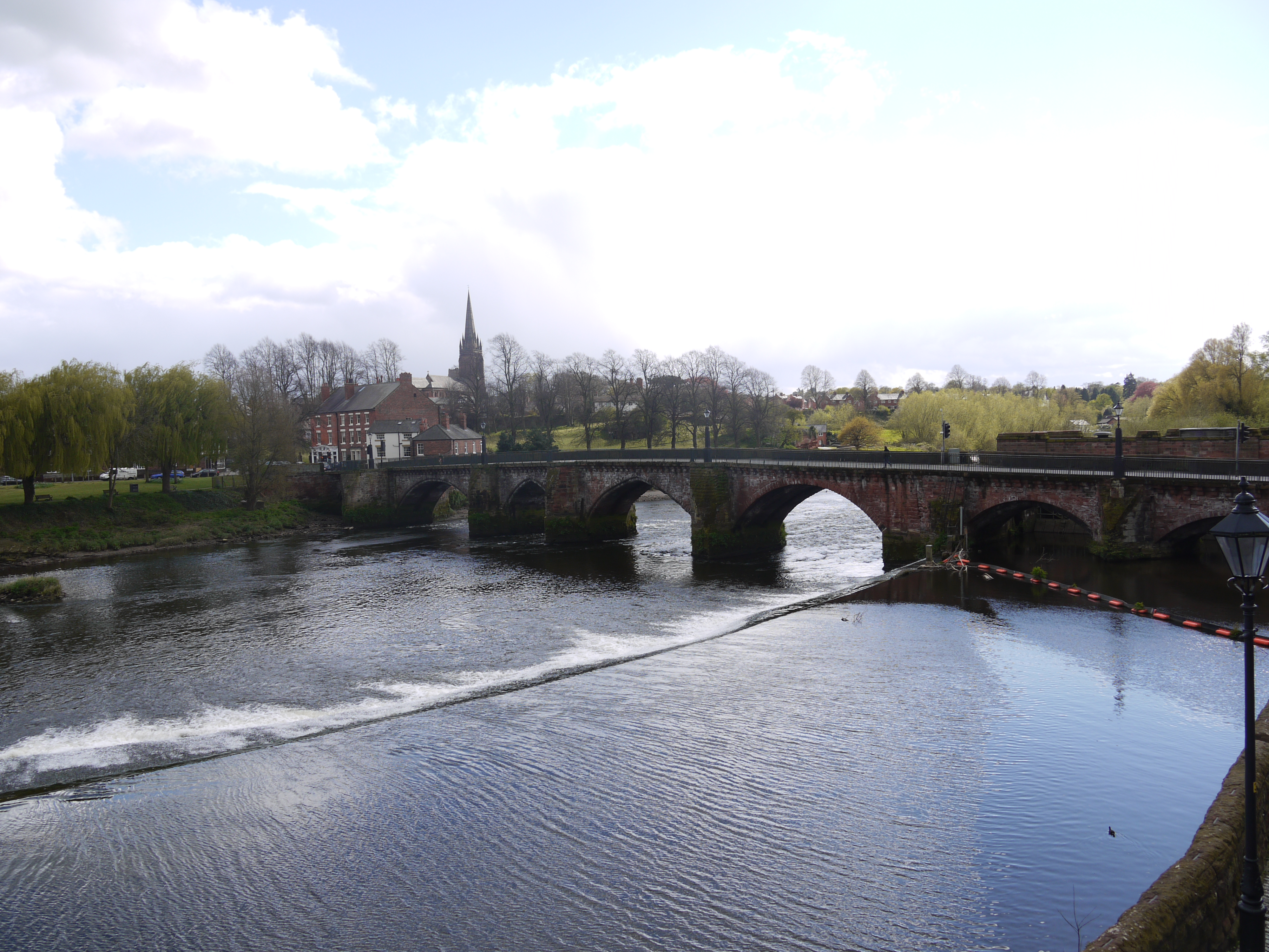
EPW058003 ENGLAND (1938). The River Dee and the city, Chester, 1938. This image has been produced from a print.

© Copyright OpenStreetMap contributors and licensed by the OpenStreetMap Foundation. 2024. Cartography is licensed as CC BY-SA.
Nearby Images (16)
EPW058003

EPW003088

EPW004002

EPW036909

EPW040163

EPW004004

EPW003098

EPW058005

EPW003095

EPW058012

EPW005884

EAW013773

EPW036916

EPW029882

EPW037241

EAW013775

Details
| Title | [EPW058003] The River Dee and the city, Chester, 1938. This image has been produced from a print. |
| Reference | EPW058003 |
| Date | 18-July-1938 |
| Link | |
| Place name | CHESTER |
| Parish | |
| District | |
| Country | ENGLAND |
| Easting / Northing | 340692, 365977 |
| Longitude / Latitude | -2.8876793234462, 53.187288723476 |
| National Grid Reference | SJ407660 |
Pins
Be the first to add a comment to this image!
User Comment Contributions
 Old Dee Bridge, Chester, 29/04/2016 |
 Class31 |
Wednesday 4th of May 2016 10:16:50 PM |