
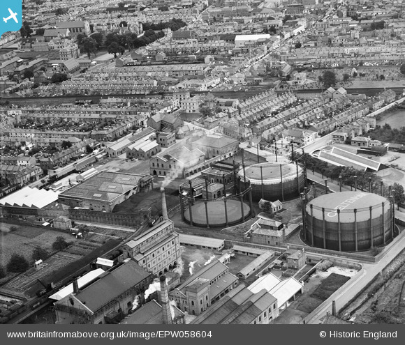
EPW058604 ENGLAND (1938). Gas Works on Lower Mill Street and environs, Alstone, 1938
© Copyright OpenStreetMap contributors and licensed by the OpenStreetMap Foundation. 2024. Cartography is licensed as CC BY-SA.
Nearby Images (8)
EPW058604

EPW058606

EPW058605

EPW058608

EPW058603

EPW058607

EPW059677

EPW059679

Details
| Title | [EPW058604] Gas Works on Lower Mill Street and environs, Alstone, 1938 |
| Reference | EPW058604 |
| Date | 13-August-1938 |
| Link | |
| Place name | ALSTONE |
| Parish | |
| District | |
| Country | ENGLAND |
| Easting / Northing | 394101, 223015 |
| Longitude / Latitude | -2.0857551904106, 51.905206459358 |
| National Grid Reference | SO941230 |
Pins
 calladhor |
Monday 20th of July 2015 10:52:49 AM | |
calladhor |
Tuesday 12th of August 2014 08:12:47 PM | |
calladhor |
Tuesday 12th of August 2014 08:06:29 PM | |
Toby Clempson |
Wednesday 23rd of July 2014 06:45:51 AM | |
 Maurice |
Friday 9th of August 2013 08:45:31 AM | |
Toby Clempson |
Friday 9th of August 2013 07:22:13 AM |