
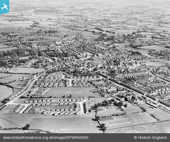
EPW062662 ENGLAND (1939). The town, Braintree, from the north-west, 1939
© Copyright OpenStreetMap contributors and licensed by the OpenStreetMap Foundation. 2024. Cartography is licensed as CC BY-SA.
Nearby Images (2)
EPW062662

EAW043698

Details
| Title | [EPW062662] The town, Braintree, from the north-west, 1939 |
| Reference | EPW062662 |
| Date | 15-August-1939 |
| Link | |
| Place name | BRAINTREE |
| Parish | |
| District | |
| Country | ENGLAND |
| Easting / Northing | 575292, 223262 |
| Longitude / Latitude | 0.54702933523338, 51.8798884338 |
| National Grid Reference | TL753233 |
Pins
 shadysheepie |
Thursday 27th of February 2020 04:53:33 PM | |
shadysheepie |
Thursday 27th of February 2020 04:52:59 PM | |
shadysheepie |
Thursday 27th of February 2020 04:51:47 PM | |
David Smith |
Sunday 3rd of April 2016 09:18:49 PM | |
Paul S |
Thursday 3rd of October 2013 03:49:18 PM | |
Paul S |
Thursday 3rd of October 2013 03:43:22 PM | |
Paul S |
Thursday 3rd of October 2013 03:42:18 PM | |
Paul S |
Thursday 3rd of October 2013 03:39:04 PM | |
Paul S |
Thursday 3rd of October 2013 03:36:35 PM | |
Paul S |
Thursday 3rd of October 2013 03:33:03 PM | |
Paul S |
Thursday 3rd of October 2013 03:31:38 PM | |
Paul S |
Thursday 3rd of October 2013 03:29:45 PM | |
Paul S |
Thursday 3rd of October 2013 03:28:20 PM | |
Paul S |
Tuesday 24th of September 2013 11:25:51 AM | |
Paul S |
Tuesday 24th of September 2013 11:21:01 AM |