
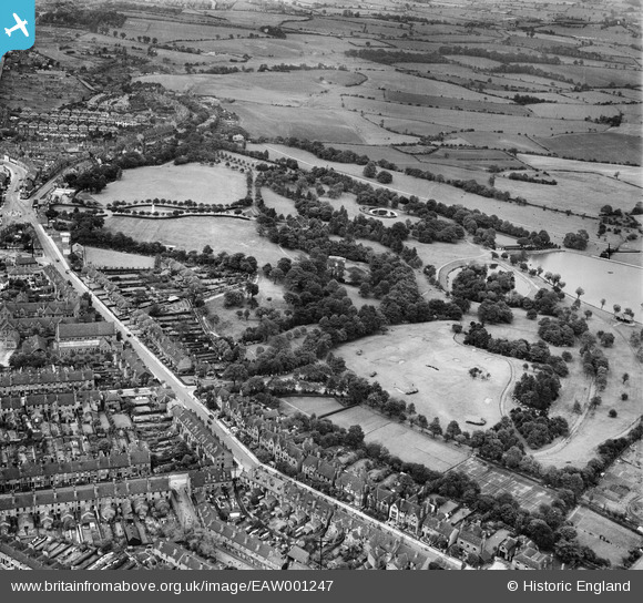
EAW001247 ENGLAND (1946). Dartmouth Park, Mayer's Green, 1946
© Hawlfraint cyfranwyr OpenStreetMap a thrwyddedwyd gan yr OpenStreetMap Foundation. 2025. Trwyddedir y gartograffeg fel CC BY-SA.
Delweddau cyfagos (7)
EAW001247

EAW001249

EAW001250

EAW001246

EAW001252

EAW001251

EPW021863

Manylion
| Pennawd | [EAW001247] Dartmouth Park, Mayer's Green, 1946 |
| Cyfeirnod | EAW001247 |
| Dyddiad | 24-June-1946 |
| Dolen | |
| Enw lle | MAYER'S GREEN |
| Plwyf | |
| Ardal | |
| Gwlad | ENGLAND |
| Dwyreiniad / Gogleddiad | 401243, 291294 |
| Hydred / Lledred | -1.9816793737986, 52.519161194886 |
| Cyfeirnod Grid Cenedlaethol | SP012913 |
Pinnau
 DaveT |
Wednesday 7th of May 2014 02:54:02 PM | |
DaveT |
Wednesday 7th of May 2014 02:52:29 PM | |
DaveT |
Wednesday 27th of November 2013 07:47:58 PM |