
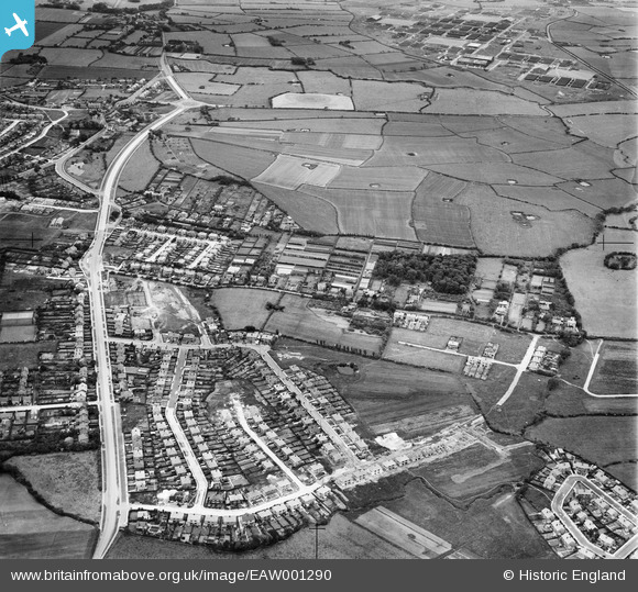
EAW001290 ENGLAND (1946). The residential area surrounding Cortsway, Kirkway and Greasby Road, Greasby, 1946
© Hawlfraint cyfranwyr OpenStreetMap a thrwyddedwyd gan yr OpenStreetMap Foundation. 2025. Trwyddedir y gartograffeg fel CC BY-SA.
Delweddau cyfagos (3)
EAW001290

EAW001601

EAW001602

Manylion
| Pennawd | [EAW001290] The residential area surrounding Cortsway, Kirkway and Greasby Road, Greasby, 1946 |
| Cyfeirnod | EAW001290 |
| Dyddiad | 24-June-1946 |
| Dolen | |
| Enw lle | GREASBY |
| Plwyf | |
| Ardal | |
| Gwlad | ENGLAND |
| Dwyreiniad / Gogleddiad | 325816, 387903 |
| Hydred / Lledred | -3.1154120402816, 53.382494930562 |
| Cyfeirnod Grid Cenedlaethol | SJ258879 |
Pinnau
 Longago |
Thursday 30th of March 2023 08:23:27 AM | |
Longago |
Thursday 30th of March 2023 08:22:06 AM | |
rosa |
Saturday 28th of January 2023 05:33:07 PM | |
JethroBodineJr |
Thursday 30th of September 2021 05:13:37 PM | |
JethroBodineJr |
Thursday 30th of September 2021 05:12:46 PM | |
SDIrwin |
Tuesday 14th of July 2020 07:51:37 PM | |
andy1742 |
Tuesday 15th of August 2017 10:25:15 PM | |
andy1742 |
Tuesday 15th of August 2017 10:22:14 PM | |
Alison_C |
Saturday 7th of November 2015 03:19:06 PM | |
Alison_C |
Saturday 7th of November 2015 03:18:19 PM | |
Alison_C |
Saturday 7th of November 2015 03:08:15 PM | |
Alison_C |
Saturday 7th of November 2015 03:04:25 PM | |
Alison_C |
Saturday 7th of November 2015 03:03:08 PM |