
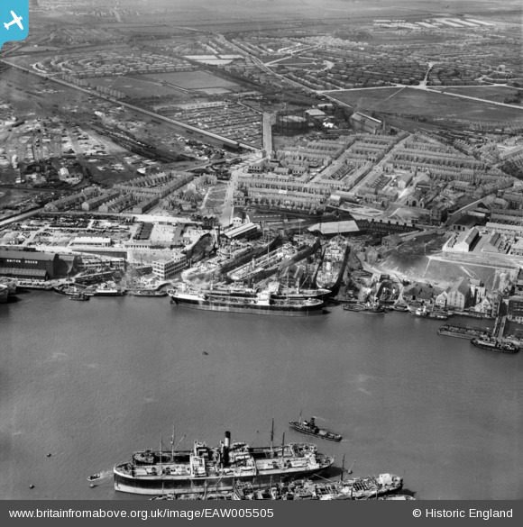
EAW005505 ENGLAND (1947). The Bull Ring Graving Docks and the surrounding area, North Shields, 1947
© Hawlfraint cyfranwyr OpenStreetMap a thrwyddedwyd gan yr OpenStreetMap Foundation. 2025. Trwyddedir y gartograffeg fel CC BY-SA.
Delweddau cyfagos (4)
EAW005505

EAW005500

EAW005499

EAW005501

Manylion
| Pennawd | [EAW005505] The Bull Ring Graving Docks and the surrounding area, North Shields, 1947 |
| Cyfeirnod | EAW005505 |
| Dyddiad | 15-May-1947 |
| Dolen | |
| Enw lle | NORTH SHIELDS |
| Plwyf | |
| Ardal | |
| Gwlad | ENGLAND |
| Dwyreiniad / Gogleddiad | 435463, 567633 |
| Hydred / Lledred | -1.4455348502865, 55.0019306405 |
| Cyfeirnod Grid Cenedlaethol | NZ355676 |
Pinnau
 redmist |
Thursday 2nd of May 2019 11:07:54 PM | |
MB |
Monday 4th of November 2013 11:55:35 PM | |
MB |
Monday 4th of November 2013 11:54:42 PM | |
MB |
Monday 4th of November 2013 11:53:49 PM | |
MB |
Monday 4th of November 2013 11:52:49 PM |