
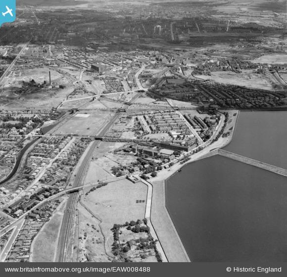
EAW008488 ENGLAND (1947). The Spring Bank Leather Works and surrounding residential area alongside the Audenshaw Reservoirs, Audenshaw, 1947
© Hawlfraint cyfranwyr OpenStreetMap a thrwyddedwyd gan yr OpenStreetMap Foundation. 2025. Trwyddedir y gartograffeg fel CC BY-SA.
Delweddau cyfagos (8)
EAW008488

EAW008491

EAW008490

EAW008484

EAW008493

EAW008492

EAW008489

EAW008485

Manylion
| Pennawd | [EAW008488] The Spring Bank Leather Works and surrounding residential area alongside the Audenshaw Reservoirs, Audenshaw, 1947 |
| Cyfeirnod | EAW008488 |
| Dyddiad | 22-July-1947 |
| Dolen | |
| Enw lle | AUDENSHAW |
| Plwyf | |
| Ardal | |
| Gwlad | ENGLAND |
| Dwyreiniad / Gogleddiad | 391507, 397372 |
| Hydred / Lledred | -2.1279671266442, 53.472759095278 |
| Cyfeirnod Grid Cenedlaethol | SJ915974 |
Pinnau
 Barney Rubble |
Tuesday 27th of November 2018 12:44:10 PM | |
Barney Rubble |
Tuesday 27th of November 2018 12:28:34 PM | |
Barney Rubble |
Tuesday 27th of November 2018 12:26:23 PM | |
Barney Rubble |
Tuesday 13th of February 2018 06:28:57 PM | |
Barney Rubble |
Tuesday 13th of February 2018 06:26:04 PM | |
Barney Rubble |
Tuesday 13th of February 2018 05:53:13 PM | |
John T. Pitman |
Wednesday 15th of October 2014 12:13:35 AM | |
stardelta |
Tuesday 24th of June 2014 07:20:30 PM | |
Allan |
Monday 18th of November 2013 10:50:10 PM |