
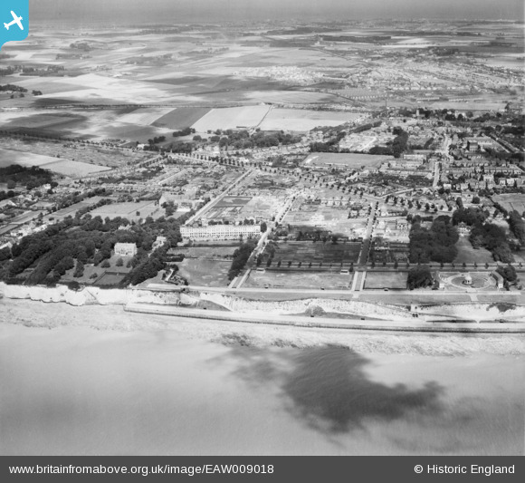
EAW009018 ENGLAND (1947). West Cliff and the residential area surrounding London Road, Ramsgate, from the south, 1947
© Hawlfraint cyfranwyr OpenStreetMap a thrwyddedwyd gan yr OpenStreetMap Foundation. 2025. Trwyddedir y gartograffeg fel CC BY-SA.
Delweddau cyfagos (13)
EAW009018

EAW009022

EPW035448

EPW042858

EAW009001

EAW009026

EAW009000

EPW039347

EAW009027

EPW042860

EPW039355

EPW042863

EAW009019

Manylion
| Pennawd | [EAW009018] West Cliff and the residential area surrounding London Road, Ramsgate, from the south, 1947 |
| Cyfeirnod | EAW009018 |
| Dyddiad | 12-August-1947 |
| Dolen | |
| Enw lle | RAMSGATE |
| Plwyf | RAMSGATE |
| Ardal | |
| Gwlad | ENGLAND |
| Dwyreiniad / Gogleddiad | 636886, 164003 |
| Hydred / Lledred | 1.4004899822114, 51.325206326648 |
| Cyfeirnod Grid Cenedlaethol | TR369640 |
Pinnau
 Mike Floate |
Sunday 27th of April 2014 07:57:53 PM |