
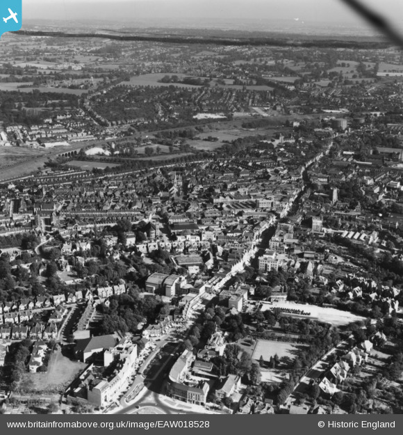
EAW018528 ENGLAND (1948). The High Street and environs, Watford, from the north-west, 1948. This image has been produced from a print.
© Hawlfraint cyfranwyr OpenStreetMap a thrwyddedwyd gan yr OpenStreetMap Foundation. 2025. Trwyddedir y gartograffeg fel CC BY-SA.
Delweddau cyfagos (12)
EAW018528

EPW037383

EPW051578

EPW001555

EPW051576

EPW051262

EPW051263

EAW018529

EAW028659

EPW051261

EPW051264

EPW037382

Manylion
| Pennawd | [EAW018528] The High Street and environs, Watford, from the north-west, 1948. This image has been produced from a print. |
| Cyfeirnod | EAW018528 |
| Dyddiad | 9-September-1948 |
| Dolen | |
| Enw lle | WATFORD |
| Plwyf | |
| Ardal | |
| Gwlad | ENGLAND |
| Dwyreiniad / Gogleddiad | 510799, 196693 |
| Hydred / Lledred | -0.39803251430134, 51.657622850204 |
| Cyfeirnod Grid Cenedlaethol | TQ108967 |
