
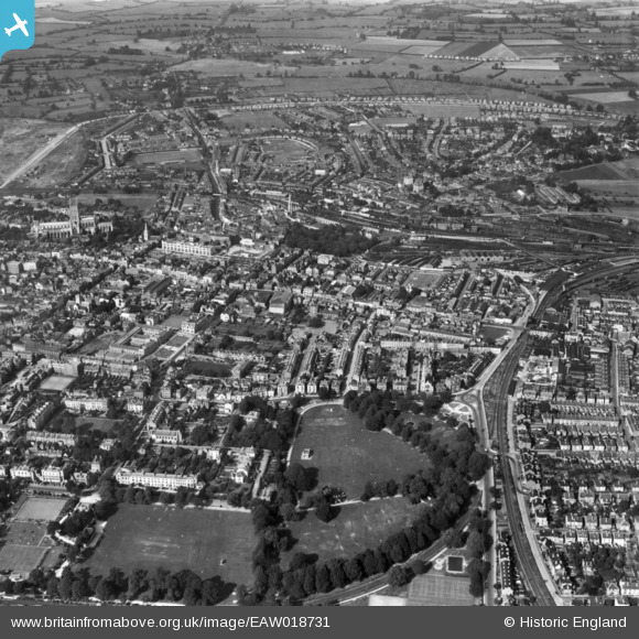
EAW018731 ENGLAND (1948). The Park and city, Gloucester, 1948. This image has been produced from a print.
© Hawlfraint cyfranwyr OpenStreetMap a thrwyddedwyd gan yr OpenStreetMap Foundation. 2025. Trwyddedir y gartograffeg fel CC BY-SA.
Delweddau cyfagos (4)
EAW018731

EPW006016

EPW024171

EPW041490

Manylion
| Pennawd | [EAW018731] The Park and city, Gloucester, 1948. This image has been produced from a print. |
| Cyfeirnod | EAW018731 |
| Dyddiad | 31-August-1948 |
| Dolen | |
| Enw lle | GLOUCESTER |
| Plwyf | |
| Ardal | |
| Gwlad | ENGLAND |
| Dwyreiniad / Gogleddiad | 383401, 218300 |
| Hydred / Lledred | -2.2410757700776, 51.862593830165 |
| Cyfeirnod Grid Cenedlaethol | SO834183 |


