
EAW021041 ENGLAND (1949). Langleys, Great Waltham, 1949

© Hawlfraint cyfranwyr OpenStreetMap a thrwyddedwyd gan yr OpenStreetMap Foundation. 2025. Trwyddedir y gartograffeg fel CC BY-SA.
Delweddau cyfagos (4)
EAW021041

EAW021046

EAW021045

EAW021042

Manylion
| Pennawd | [EAW021041] Langleys, Great Waltham, 1949 |
| Cyfeirnod | EAW021041 |
| Dyddiad | 16-February-1949 |
| Dolen | |
| Enw lle | GREAT WALTHAM |
| Plwyf | GREAT WALTHAM |
| Ardal | |
| Gwlad | ENGLAND |
| Dwyreiniad / Gogleddiad | 569920, 213628 |
| Hydred / Lledred | 0.46432024038734, 51.795002946677 |
| Cyfeirnod Grid Cenedlaethol | TL699136 |
Pinnau
 Matt Aldred edob.mattaldred.com |
Saturday 29th of January 2022 10:08:08 PM | |
Matt Aldred edob.mattaldred.com |
Saturday 21st of September 2019 07:05:50 PM | |
Matt Aldred edob.mattaldred.com |
Saturday 21st of September 2019 07:04:59 PM | |
Matt Aldred edob.mattaldred.com |
Saturday 21st of September 2019 07:03:48 PM |
Cyfraniadau Grŵp
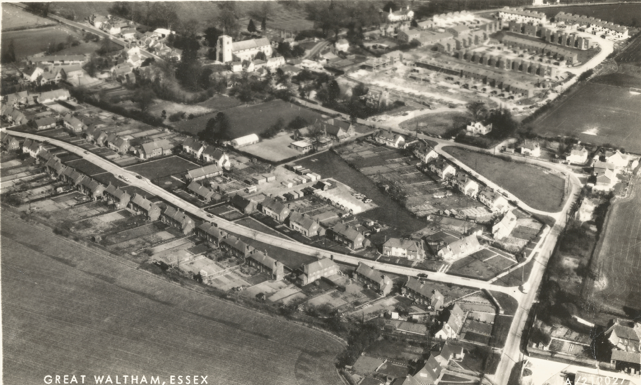 The nearby village of Great Waltham is seen in this image (Aerofilms A/212027). Not sure of the date. |
 Tim |
Sunday 24th of January 2016 07:21:36 AM |