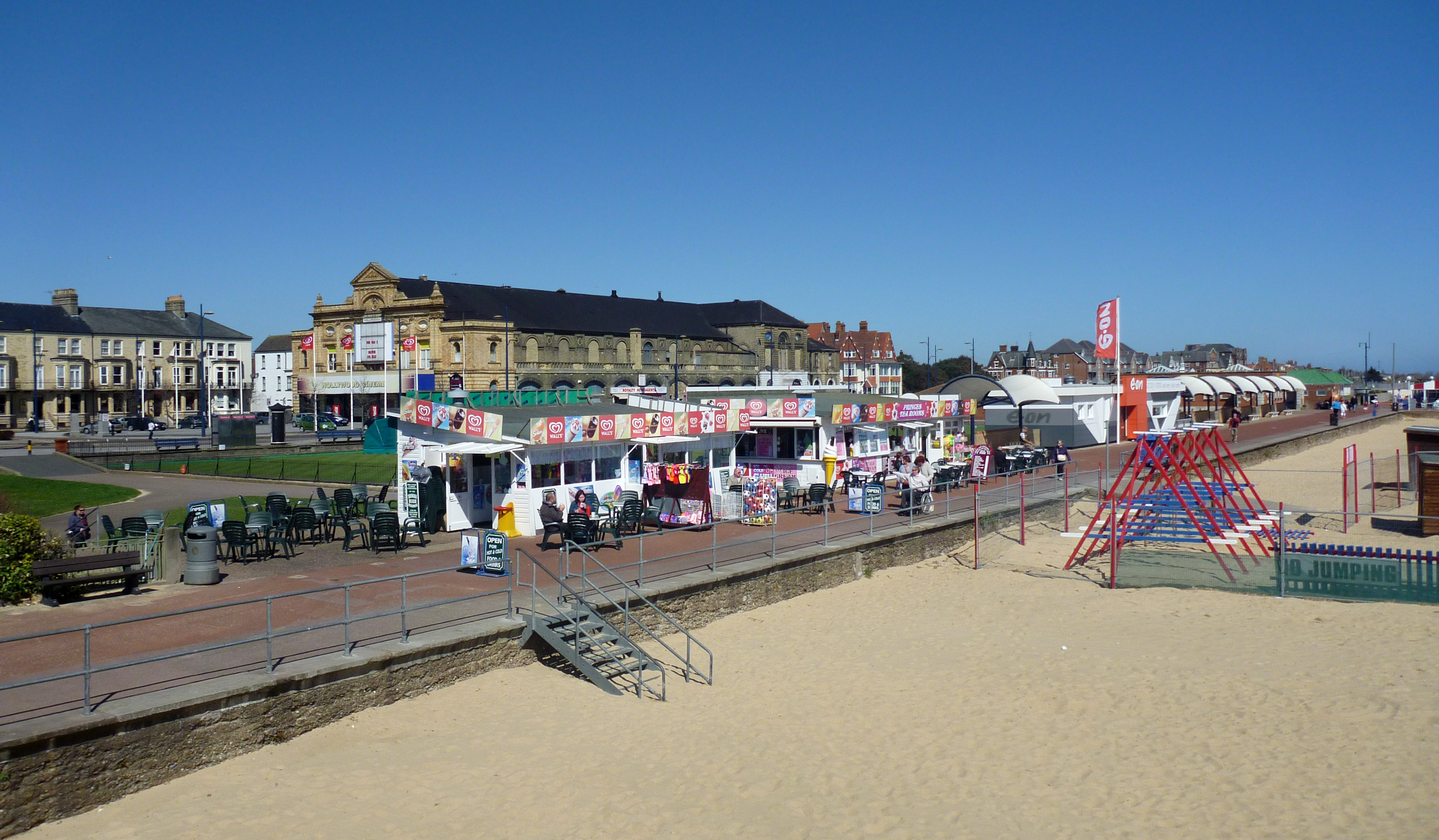
EAW026625 ENGLAND (1949). Britannia Pier and the beach, Great Yarmouth, from the north, 1949
© Hawlfraint cyfranwyr OpenStreetMap a thrwyddedwyd gan yr OpenStreetMap Foundation. 2024. Trwyddedir y gartograffeg fel CC BY-SA.
Delweddau cyfagos (6)
Manylion
| Pennawd | [EAW026625] Britannia Pier and the beach, Great Yarmouth, from the north, 1949 |
| Cyfeirnod | EAW026625 |
| Dyddiad | 16-September-1949 |
| Dolen | |
| Enw lle | GREAT YARMOUTH |
| Plwyf | |
| Ardal | |
| Gwlad | ENGLAND |
| Dwyreiniad / Gogleddiad | 653325, 307968 |
| Hydred / Lledred | 1.7421817367676, 52.60994397943 |
| Cyfeirnod Grid Cenedlaethol | TG533080 |
Pinnau
 redmist |
Wednesday 19th of January 2022 07:12:49 PM | |
 redmist |
Sunday 16th of January 2022 08:14:07 PM | |
 redmist |
Sunday 16th of January 2022 08:11:24 PM | |
 Alan McFaden |
Sunday 31st of August 2014 11:01:04 AM |
Cyfraniadau Grŵp
 View North from the Pier |
 Alan McFaden |
Sunday 31st of August 2014 11:01:34 AM |


![[EAW026625] Britannia Pier and the beach, Great Yarmouth, from the north, 1949](http://britainfromabove.org.uk/sites/all/libraries/aerofilms-images/public/100x100/EAW/026/EAW026625.jpg)
![[EAW026623] Britannia Pier and the beach, Great Yarmouth, from the north-east, 1949](http://britainfromabove.org.uk/sites/all/libraries/aerofilms-images/public/100x100/EAW/026/EAW026623.jpg)
![[EPW021196] North Beach Gardens and the town, Great Yarmouth, from the north-east, 1928](http://britainfromabove.org.uk/sites/all/libraries/aerofilms-images/public/100x100/EPW/021/EPW021196.jpg)
![[EAW045609] Britannia Pier and the town, Great Yarmouth, from the north-east, 1952. This image was marked by Aerofilms Ltd for photo editing.](http://britainfromabove.org.uk/sites/all/libraries/aerofilms-images/public/100x100/EAW/045/EAW045609.jpg)
![[EAW045607] Britannia Pier and the town, Great Yarmouth, from the north-east, 1952. This image was marked by Aerofilms Ltd for photo editing.](http://britainfromabove.org.uk/sites/all/libraries/aerofilms-images/public/100x100/EAW/045/EAW045607.jpg)
![[EAW045612] Marine Parade and North Beach Gardens, Great Yarmouth, 1952. This image was marked by Aerofilms Ltd for photo editing.](http://britainfromabove.org.uk/sites/all/libraries/aerofilms-images/public/100x100/EAW/045/EAW045612.jpg)
