EAW029565 ENGLAND (1950). The town, Banbury, from the west, 1950

© Hawlfraint cyfranwyr OpenStreetMap a thrwyddedwyd gan yr OpenStreetMap Foundation. 2025. Trwyddedir y gartograffeg fel CC BY-SA.
Delweddau cyfagos (7)
EAW029565

EAW006313

EPW010584

EPW028256

EPW028255

EPW028252

EPW028257

Manylion
| Pennawd | [EAW029565] The town, Banbury, from the west, 1950 |
| Cyfeirnod | EAW029565 |
| Dyddiad | 22-May-1950 |
| Dolen | |
| Enw lle | BANBURY |
| Plwyf | BANBURY |
| Ardal | |
| Gwlad | ENGLAND |
| Dwyreiniad / Gogleddiad | 445282, 240695 |
| Hydred / Lledred | -1.3394132761231, 52.062360891834 |
| Cyfeirnod Grid Cenedlaethol | SP453407 |
Pinnau
 Starman |
Monday 22nd of November 2021 03:11:45 PM | |
John W |
Sunday 21st of August 2016 06:01:06 PM | |
Carl R |
Thursday 24th of July 2014 12:57:46 PM | |
Carl R |
Thursday 24th of July 2014 12:40:26 PM | |
Carl R |
Thursday 24th of July 2014 12:38:39 PM | |
Carl R |
Thursday 24th of July 2014 12:28:41 PM | |
 |
Carl R |
Thursday 24th of July 2014 12:27:09 PM |
 |
Carl R |
Thursday 24th of July 2014 12:20:55 PM |
Mission Historian |
Friday 2nd of May 2014 10:06:31 PM | |
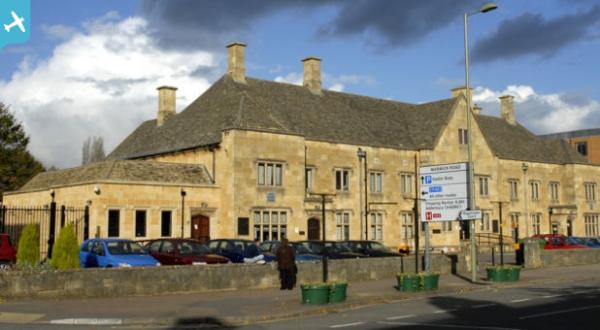
Was at one time known as Bridge Street station. The station seen in this picture was demolished and rebuilt in the late 1950s. |
John W |
Sunday 21st of August 2016 06:02:41 PM |
Mission Historian |
Friday 2nd of May 2014 10:01:27 PM |