
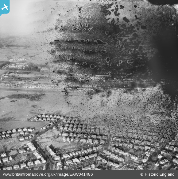
EAW041486 ENGLAND (1952). Preston Docks and the residential area around Blundell Lane, Higher Penwortham, from the south, 1952. This image has been produced from a damaged negative.
© Hawlfraint cyfranwyr OpenStreetMap a thrwyddedwyd gan yr OpenStreetMap Foundation. 2025. Trwyddedir y gartograffeg fel CC BY-SA.
Delweddau cyfagos (2)
EAW041486

EPW050151

Manylion
| Pennawd | [EAW041486] Preston Docks and the residential area around Blundell Lane, Higher Penwortham, from the south, 1952. This image has been produced from a damaged negative. |
| Cyfeirnod | EAW041486 |
| Dyddiad | 3-January-1952 |
| Dolen | |
| Enw lle | HIGHER PENWORTHAM |
| Plwyf | PENWORTHAM |
| Ardal | |
| Gwlad | ENGLAND |
| Dwyreiniad / Gogleddiad | 351699, 428947 |
| Hydred / Lledred | -2.7326344298424, 53.754425601588 |
| Cyfeirnod Grid Cenedlaethol | SD517289 |
Pinnau
Byddwch y cyntaf i ychwanegu sylw at y ddelwedd hon!