
EAW052589 ENGLAND (1953) [Unlocated]. UNLOCATED
© Hawlfraint cyfranwyr OpenStreetMap a thrwyddedwyd gan yr OpenStreetMap Foundation. 2025. Trwyddedir y gartograffeg fel CC BY-SA.
Delweddau cyfagos (48)
EPW000143

EPW000667

EPW005260

EPW006389
, 1921")
EPW007181

EPW015853

EPW015854

EPW015855

EPW016012

EPW016510

EPW016641

EPW017028

EPW017029

EPW017136

SAW003585

SAW003586

SAW009337

SAW009800

SAW009801

SAW009802

SAW010734

SAW014737

SAW017926

SAW017927

SAW032504

SPW020275

SPW020280

SPW020281

SPW020284

SPW020632

SPW020633

SPW027083

SPW049776

SPW049777

SPW049779

SPW049783

SPW049791

SPW049798

SPW049801

SPW049827

SPW049828

SPW049831

SPW049832

SPW049834

SPW049948

SPW049949

SPW051009

SPW062638

Manylion
| Pennawd | [EAW052589] UNLOCATED |
| Cyfeirnod | EAW052589 |
| Dyddiad | 5-October-1953 |
| Dolen | |
| Enw lle | |
| Plwyf | |
| Ardal | |
| Gwlad | ENGLAND |
| Dwyreiniad / Gogleddiad | 0, 0 |
| Hydred / Lledred | -7.556448482059, 49.766185796754 |
| Cyfeirnod Grid Cenedlaethol | SV000000 |
Pinnau
 TomRobin |
Saturday 8th of November 2014 09:44:29 AM | |
We shall see! |
 Class31 |
Saturday 8th of November 2014 08:01:10 PM |
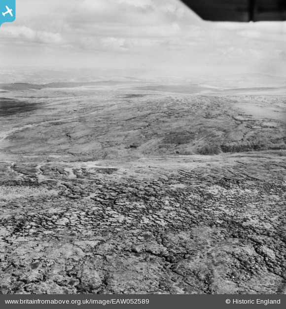
Possibly Cawsand (Cosdon) Hill |
Charles Dale |
Tuesday 26th of January 2016 01:23:32 PM |
Hameldown Tor I think |
Dave Brunt |
Monday 24th of October 2016 06:13:09 PM |
TomRobin |
Saturday 8th of November 2014 09:43:03 AM |
Cyfraniadau Grŵp
 OK Time to stick my neck out and see if you agree. I think the Village is probably Chagford and the hill a mixture of hill and headland. I've attached a Google earth image showing the track going from the centre of the picture to the left and the escapment middle right of the picture. The coordinates are on it as well if you could take a look and see |
Dave Brunt |
Wednesday 12th of October 2016 06:44:53 PM |
EAW052588 EAW052589 and EAW052590 are all of the same area and I believe that they show the south side of Dartmoor possibly looking south. |
Class31 |
Wednesday 5th of November 2014 03:02:40 PM |