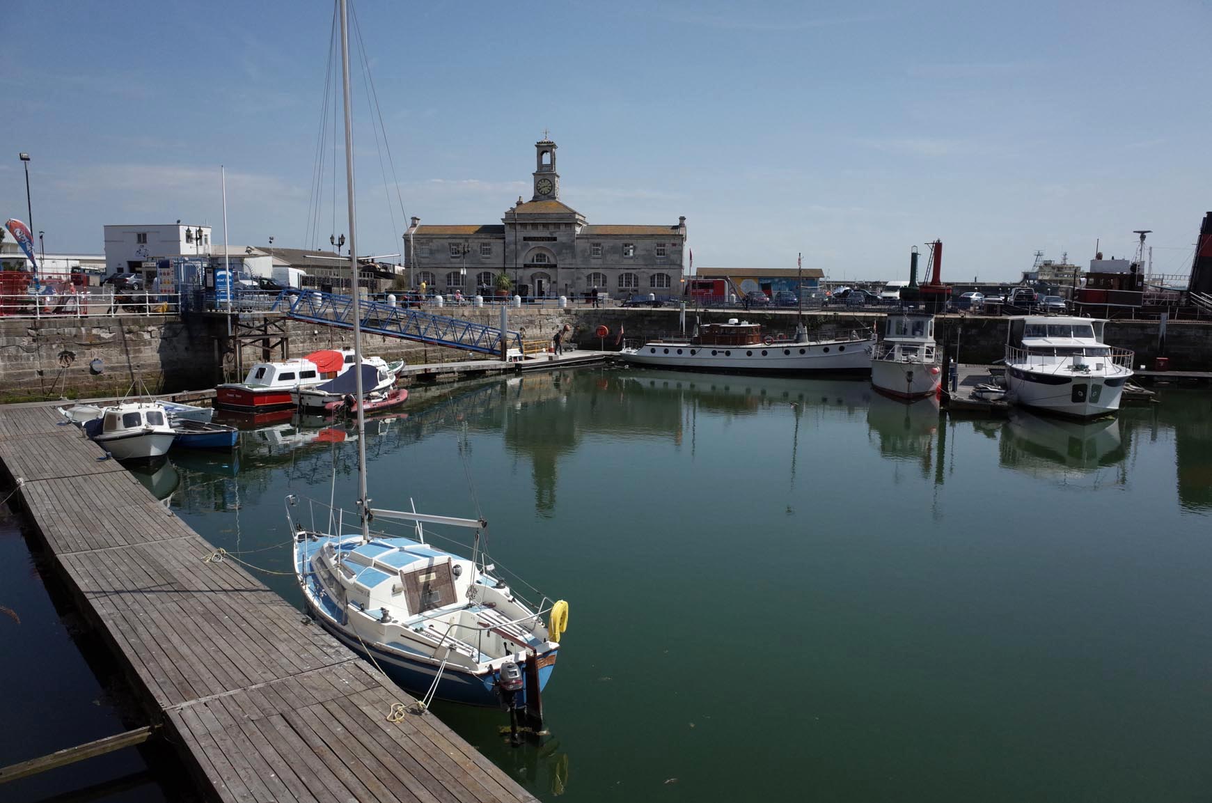
EPW000373 ENGLAND (1920). The Harbour and Esplanade, Ramsgate, from the north-east, 1920
© Hawlfraint cyfranwyr OpenStreetMap a thrwyddedwyd gan yr OpenStreetMap Foundation. 2025. Trwyddedir y gartograffeg fel CC BY-SA.
Delweddau cyfagos (13)
Manylion
| Pennawd | [EPW000373] The Harbour and Esplanade, Ramsgate, from the north-east, 1920 |
| Cyfeirnod | EPW000373 |
| Dyddiad | April-1920 |
| Dolen | |
| Enw lle | RAMSGATE |
| Plwyf | RAMSGATE |
| Ardal | |
| Gwlad | ENGLAND |
| Dwyreiniad / Gogleddiad | 638955, 165315 |
| Hydred / Lledred | 1.4310134110198, 51.336118327544 |
| Cyfeirnod Grid Cenedlaethol | TR390653 |
Pinnau
 ie |
Thursday 27th of February 2025 09:57:17 PM | |
 Gen_Hancock |
Wednesday 8th of February 2017 04:21:08 PM | |
 Alan McFaden |
Wednesday 10th of December 2014 02:49:49 PM | |
 Alan McFaden |
Wednesday 10th of December 2014 02:49:15 PM | |
 EZTD |
Friday 2nd of November 2012 09:58:51 AM |
Cyfraniadau Grŵp
 Ramsgate Harbour |
 Alan McFaden |
Wednesday 10th of December 2014 02:45:50 PM |


![[EPW000373] The Harbour and Esplanade, Ramsgate, from the north-east, 1920](http://britainfromabove.org.uk/sites/all/libraries/aerofilms-images/public/100x100/EPW/000/EPW000373.jpg)
![[EPW000698] The Granville Hotel and Victoria Gardens, Ramsgate, from the north-east, 1920](http://britainfromabove.org.uk/sites/all/libraries/aerofilms-images/public/100x100/EPW/000/EPW000698.jpg)
![[EPW048781] The Marina Bathing Pool and Victoria Parade, Ramsgate, 1935. This image has been produced from a damaged negative.](http://britainfromabove.org.uk/sites/all/libraries/aerofilms-images/public/100x100/EPW/048/EPW048781.jpg)
![[EAW009012] The Marina Bathing Pool and housing off Victoria Parade, Ramsgate, 1947](http://britainfromabove.org.uk/sites/all/libraries/aerofilms-images/public/100x100/EAW/009/EAW009012.jpg)
![[EPW039323] Marina Road, the Esplanade and harbour, Ramsgate, from the north-east, 1932](http://britainfromabove.org.uk/sites/all/libraries/aerofilms-images/public/100x100/EPW/039/EPW039323.jpg)
![[EAW009011] The Marina Bathing Pool and housing off Victoria Parade, Ramsgate, 1947](http://britainfromabove.org.uk/sites/all/libraries/aerofilms-images/public/100x100/EAW/009/EAW009011.jpg)
![[EPW048782] The Marina Bathing Pool and Victoria Parade, Ramsgate, 1935. This image has been produced from a damaged negative.](http://britainfromabove.org.uk/sites/all/libraries/aerofilms-images/public/100x100/EPW/048/EPW048782.jpg)
![[EAW009013] The Marina Bathing Pool, Winterstoke Gardens and housing off Victoria Parade, Ramsgate, 1947](http://britainfromabove.org.uk/sites/all/libraries/aerofilms-images/public/100x100/EAW/009/EAW009013.jpg)
![[EAW009002] The Marina Bathing Pool, Ramsgate, 1947](http://britainfromabove.org.uk/sites/all/libraries/aerofilms-images/public/100x100/EAW/009/EAW009002.jpg)
![[EPW035447] Winterstoke Gardens, Ramsgate Sands, the Royal Harbour and the town, Ramsgate, 1931](http://britainfromabove.org.uk/sites/all/libraries/aerofilms-images/public/100x100/EPW/035/EPW035447.jpg)
![[EPW000597] The Granville Hotel, Victoria Gardens, Ramsgate, 1920](http://britainfromabove.org.uk/sites/all/libraries/aerofilms-images/public/100x100/EPW/000/EPW000597.jpg)
![[EPW052886] The Granville Hotel and environs, Ramsgate, 1937. This image has been produced from a copy-negative.](http://britainfromabove.org.uk/sites/all/libraries/aerofilms-images/public/100x100/EPW/052/EPW052886.jpg)
![[EPW035446] Ramsgate Sands, the Royal Harbour and environs, Ramsgate, 1931](http://britainfromabove.org.uk/sites/all/libraries/aerofilms-images/public/100x100/EPW/035/EPW035446.jpg)

