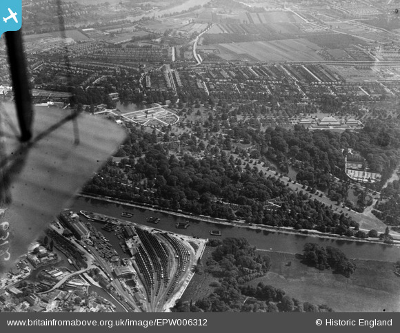
EPW006312 ENGLAND (1921). The Royal Botanic Gardens, Kew, from the north-west, 1921
© Hawlfraint cyfranwyr OpenStreetMap a thrwyddedwyd gan yr OpenStreetMap Foundation. 2025. Trwyddedir y gartograffeg fel CC BY-SA.
Manylion
| Pennawd | [EPW006312] The Royal Botanic Gardens, Kew, from the north-west, 1921 |
| Cyfeirnod | EPW006312 |
| Dyddiad | May-1921 |
| Dolen | |
| Enw lle | KEW |
| Plwyf | |
| Ardal | |
| Gwlad | ENGLAND |
| Dwyreiniad / Gogleddiad | 518012, 176997 |
| Hydred / Lledred | -0.30040868749605, 51.479118362193 |
| Cyfeirnod Grid Cenedlaethol | TQ180770 |
Pinnau
 Scapa |
Thursday 27th of December 2012 04:02:26 AM | |
 Scapa |
Thursday 27th of December 2012 04:02:26 AM | |
 Scapa |
Thursday 27th of December 2012 03:59:38 AM | |
 Scapa |
Thursday 27th of December 2012 03:59:17 AM | |
 Scapa |
Thursday 27th of December 2012 03:59:00 AM | |
 Scapa |
Thursday 27th of December 2012 03:58:33 AM | |
 longshot |
Sunday 29th of July 2012 08:23:50 PM |
Cyfraniadau Grŵp
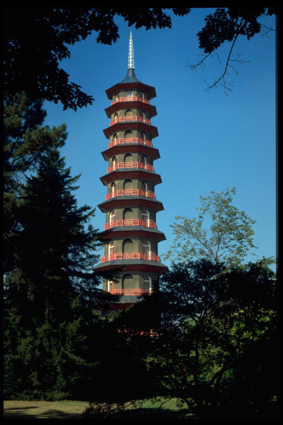
 The Pagoda Kew Gardens |
 Alan McFaden |
Monday 10th of November 2014 11:14:48 AM |
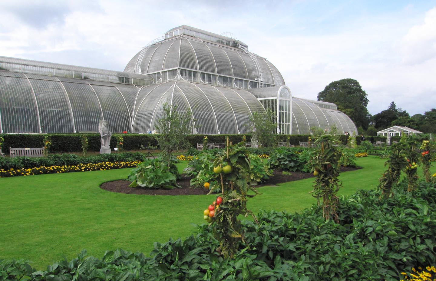
 Palm House Kew Gardens |
 Alan McFaden |
Monday 10th of November 2014 11:14:14 AM |


![[EPW006312] The Royal Botanic Gardens, Kew, from the north-west, 1921](http://britainfromabove.org.uk/sites/all/libraries/aerofilms-images/public/100x100/EPW/006/EPW006312.jpg)
![[EPW001670] The Royal Botanic Gardens, Kew, from the north-west, 1920](http://britainfromabove.org.uk/sites/all/libraries/aerofilms-images/public/100x100/EPW/001/EPW001670.jpg)