EPW016888 ENGLAND (1926). The Pavilion, Bexhill, 1926

© Hawlfraint cyfranwyr OpenStreetMap a thrwyddedwyd gan yr OpenStreetMap Foundation. 2025. Trwyddedir y gartograffeg fel CC BY-SA.
Delweddau cyfagos (10)
EPW016888

EPW026223

EPW026228

EPW000121

EPW039351

EAW022974

EPW000708

EPW026226

EPW026229

EPW000741

Manylion
| Pennawd | [EPW016888] The Pavilion, Bexhill, 1926 |
| Cyfeirnod | EPW016888 |
| Dyddiad | August-1926 |
| Dolen | |
| Enw lle | BEXHILL |
| Plwyf | |
| Ardal | |
| Gwlad | ENGLAND |
| Dwyreiniad / Gogleddiad | 574496, 107169 |
| Hydred / Lledred | 0.47850343000754, 50.837145740733 |
| Cyfeirnod Grid Cenedlaethol | TQ745072 |
Pinnau
 Cliff |
Thursday 21st of July 2016 02:55:54 PM | |
 Alan McFaden |
Saturday 20th of July 2013 05:58:13 PM | |
Alan McFaden |
Tuesday 9th of April 2013 01:26:25 PM | |
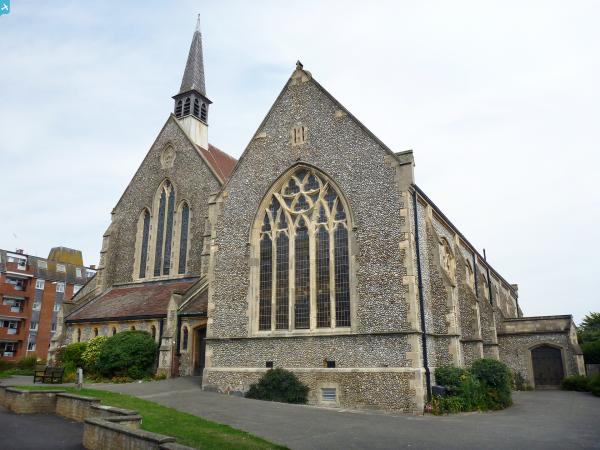
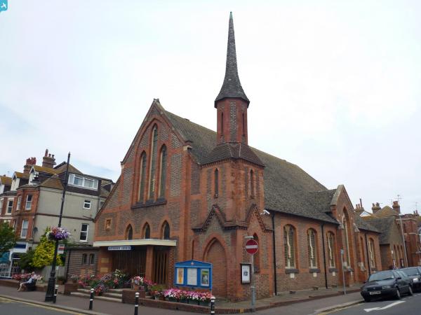
Your picture is of Sackville Road Methodist - but you have placed it on St Barnabas Church in Sea Road !! |
JL |
Wednesday 5th of June 2013 05:35:01 PM |
Alan McFaden |
Tuesday 9th of April 2013 01:20:06 PM | |
The De la Warr Pavilion is not in this position. It replaced the houses behind the Colonnade. |
JL |
Wednesday 5th of June 2013 05:39:16 PM |
Whoops! I usually put tags from roughly where the photo is taken from. |
Alan McFaden |
Saturday 20th of July 2013 05:49:28 PM |
Alan McFaden |
Tuesday 9th of April 2013 01:18:31 PM |