
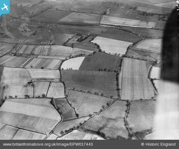
EPW017443 ENGLAND (1927). Fields around Waterside Farm and the Sale and Chorlton-cum-Hardy Golf Courses, Northenden, 1927
© Hawlfraint cyfranwyr OpenStreetMap a thrwyddedwyd gan yr OpenStreetMap Foundation. 2025. Trwyddedir y gartograffeg fel CC BY-SA.
Delweddau cyfagos (15)
EPW017443

EAW016771

EAW016495

EAW016766

EAW016493

EAW016769

EAW016489

EAW016767

EAW016494

EAW016491

EAW016492

EAW016773

EAW016770

EAW016490

EAW016768

Manylion
| Pennawd | [EPW017443] Fields around Waterside Farm and the Sale and Chorlton-cum-Hardy Golf Courses, Northenden, 1927 |
| Cyfeirnod | EPW017443 |
| Dyddiad | 8-March-1927 |
| Dolen | |
| Enw lle | NORTHENDEN |
| Plwyf | |
| Ardal | |
| Gwlad | ENGLAND |
| Dwyreiniad / Gogleddiad | 381681, 391220 |
| Hydred / Lledred | -2.2756594345848, 53.417205821369 |
| Cyfeirnod Grid Cenedlaethol | SJ817912 |
Pinnau
 John Ellis |
Wednesday 11th of July 2012 12:07:05 AM | |
John Ellis |
Tuesday 10th of July 2012 11:26:05 PM | |
John Ellis |
Tuesday 10th of July 2012 11:24:06 PM | |
John Ellis |
Tuesday 10th of July 2012 11:20:30 PM | |
John Ellis |
Tuesday 10th of July 2012 11:19:17 PM | |
John Ellis |
Tuesday 10th of July 2012 11:17:45 PM |