
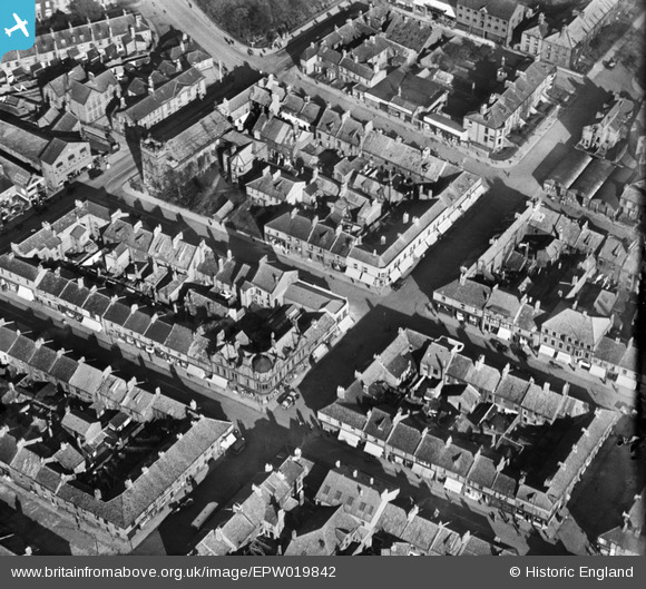
EPW019842 ENGLAND (1927). West Percy Street and environs, North Shields, 1927
© Hawlfraint cyfranwyr OpenStreetMap a thrwyddedwyd gan yr OpenStreetMap Foundation. 2025. Trwyddedir y gartograffeg fel CC BY-SA.
Delweddau cyfagos (3)
EPW019842

EPW019843

EPW019841

Manylion
| Pennawd | [EPW019842] West Percy Street and environs, North Shields, 1927 |
| Cyfeirnod | EPW019842 |
| Dyddiad | October-1927 |
| Dolen | |
| Enw lle | NORTH SHIELDS |
| Plwyf | |
| Ardal | |
| Gwlad | ENGLAND |
| Dwyreiniad / Gogleddiad | 435363, 568504 |
| Hydred / Lledred | -1.4469905976264, 55.009765250362 |
| Cyfeirnod Grid Cenedlaethol | NZ354685 |
Pinnau
 Blifster |
Thursday 15th of April 2021 04:51:37 PM | |
Blifster |
Thursday 15th of April 2021 04:47:27 PM | |
Adam |
Thursday 25th of February 2021 04:14:11 PM | |
Adam |
Thursday 25th of February 2021 04:13:35 PM | |
Adam |
Thursday 25th of February 2021 04:13:35 PM | |
Adam |
Thursday 25th of February 2021 04:12:47 PM |