
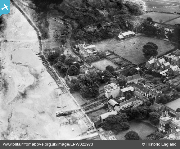
EPW022973 ENGLAND (1928). The High Street at Basket's Lane, Yarmouth, 1928
© Hawlfraint cyfranwyr OpenStreetMap a thrwyddedwyd gan yr OpenStreetMap Foundation. 2025. Trwyddedir y gartograffeg fel CC BY-SA.
Delweddau cyfagos (6)
EPW022973

EAW015264

EAW022198

EPW000501

EPW022974

EPW022971

Manylion
| Pennawd | [EPW022973] The High Street at Basket's Lane, Yarmouth, 1928 |
| Cyfeirnod | EPW022973 |
| Dyddiad | August-1928 |
| Dolen | |
| Enw lle | YARMOUTH |
| Plwyf | YARMOUTH |
| Ardal | |
| Gwlad | ENGLAND |
| Dwyreiniad / Gogleddiad | 435675, 89775 |
| Hydred / Lledred | -1.4947260139829, 50.705941356023 |
| Cyfeirnod Grid Cenedlaethol | SZ357898 |
Pinnau
 mancunian |
Monday 4th of November 2013 09:41:15 PM | |
mancunian |
Monday 4th of November 2013 09:38:06 PM | |
This was a house that my family lived in. |
Lee |
Sunday 20th of March 2016 10:57:42 PM |
mancunian |
Monday 4th of November 2013 09:35:51 PM | |
mancunian |
Monday 4th of November 2013 09:32:13 PM |