
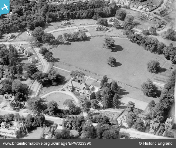
EPW023390 ENGLAND (1928). The Manor and Weybridge Park, Weybridge, 1928
© Hawlfraint cyfranwyr OpenStreetMap a thrwyddedwyd gan yr OpenStreetMap Foundation. 2025. Trwyddedir y gartograffeg fel CC BY-SA.
Delweddau cyfagos (10)
EPW023390

EPW028335

EPW017548

EPW017540

EPW017543

EPW017537

EPW017542

EPW017546

EPW017547

EPW017538

Manylion
| Pennawd | [EPW023390] The Manor and Weybridge Park, Weybridge, 1928 |
| Cyfeirnod | EPW023390 |
| Dyddiad | September-1928 |
| Dolen | |
| Enw lle | WEYBRIDGE |
| Plwyf | |
| Ardal | |
| Gwlad | ENGLAND |
| Dwyreiniad / Gogleddiad | 507632, 164281 |
| Hydred / Lledred | -0.45370170802901, 51.366880774211 |
| Cyfeirnod Grid Cenedlaethol | TQ076643 |
Pinnau
 john bagley |
Friday 18th of September 2020 01:09:31 PM | |
john bagley |
Friday 18th of September 2020 12:57:08 PM | |
john bagley |
Friday 18th of September 2020 12:53:48 PM | |
Loopytait |
Wednesday 10th of August 2016 12:23:01 AM |