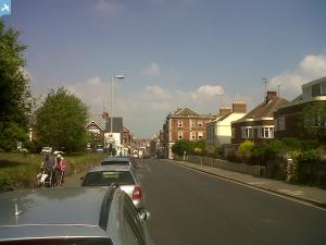
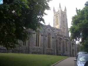
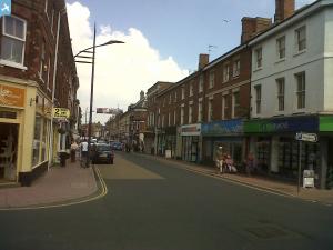
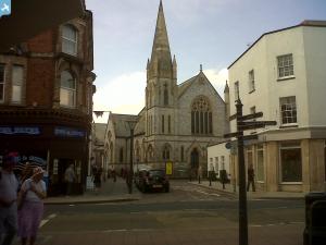
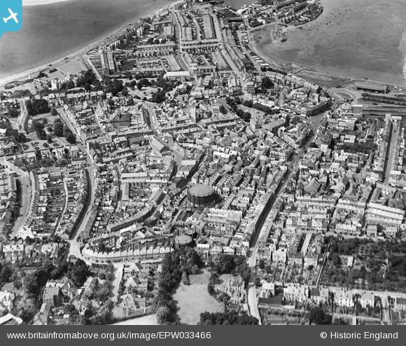
EPW033466 ENGLAND (1930). The town centre, Exmouth, 1930
© Hawlfraint cyfranwyr OpenStreetMap a thrwyddedwyd gan yr OpenStreetMap Foundation. 2025. Trwyddedir y gartograffeg fel CC BY-SA.
Manylion
| Pennawd | [EPW033466] The town centre, Exmouth, 1930 |
| Cyfeirnod | EPW033466 |
| Dyddiad | July-1930 |
| Dolen | |
| Enw lle | EXMOUTH |
| Plwyf | EXMOUTH |
| Ardal | |
| Gwlad | ENGLAND |
| Dwyreiniad / Gogleddiad | 300250, 80930 |
| Hydred / Lledred | -3.4102006297136, 50.618951735904 |
| Cyfeirnod Grid Cenedlaethol | SY003809 |
Pinnau
 AndrewR |
Monday 13th of November 2017 04:11:02 PM | |
 AndrewR |
Monday 13th of November 2017 04:10:00 PM | |
 AndrewR |
Monday 13th of November 2017 04:09:02 PM | |
 AndrewR |
Monday 13th of November 2017 04:07:55 PM | |
 Class31 |
Thursday 20th of June 2013 01:13:33 PM | |
 Class31 |
Thursday 20th of June 2013 01:11:50 PM | |
 Class31 |
Thursday 20th of June 2013 01:10:10 PM | |
 Class31 |
Thursday 20th of June 2013 01:08:48 PM |

![[EPW033466] The town centre, Exmouth, 1930](http://britainfromabove.org.uk/sites/all/libraries/aerofilms-images/public/100x100/EPW/033/EPW033466.jpg)
![[EPW023668] Holy Trinity Church, Exmouth, 1928.](http://britainfromabove.org.uk/sites/all/libraries/aerofilms-images/public/100x100/EPW/023/EPW023668.jpg)
![[EAW051156] The town, Exmouth, 1953](http://britainfromabove.org.uk/sites/all/libraries/aerofilms-images/public/100x100/EAW/051/EAW051156.jpg)
